


夏恋 - KOTOKO
May
We made an 'impulsive' road trip in May and went to the east coast. I didn't plan the trip in advance or in detail, but decided where to go next based on Google Maps as we went. I still miss the freedom of being on the road even half year after the trip finished.
The timing of our departure was not ideal. That May was the end of winter, and snowflakes had not yet disappeared, and dead trees had not yet come back to life. In most of the places we passed by, all we could see were withered weeds and tree branches. It seemed like overcast skies followed us throughout our week-long trip.
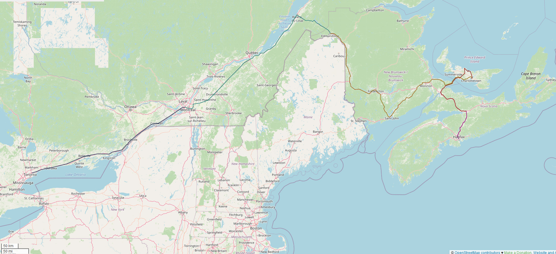
As we explored one step at a time, our route according to the map app naturally looked like this:
While on the road, we often needed to eat lunch. A very cheap option is Costco:
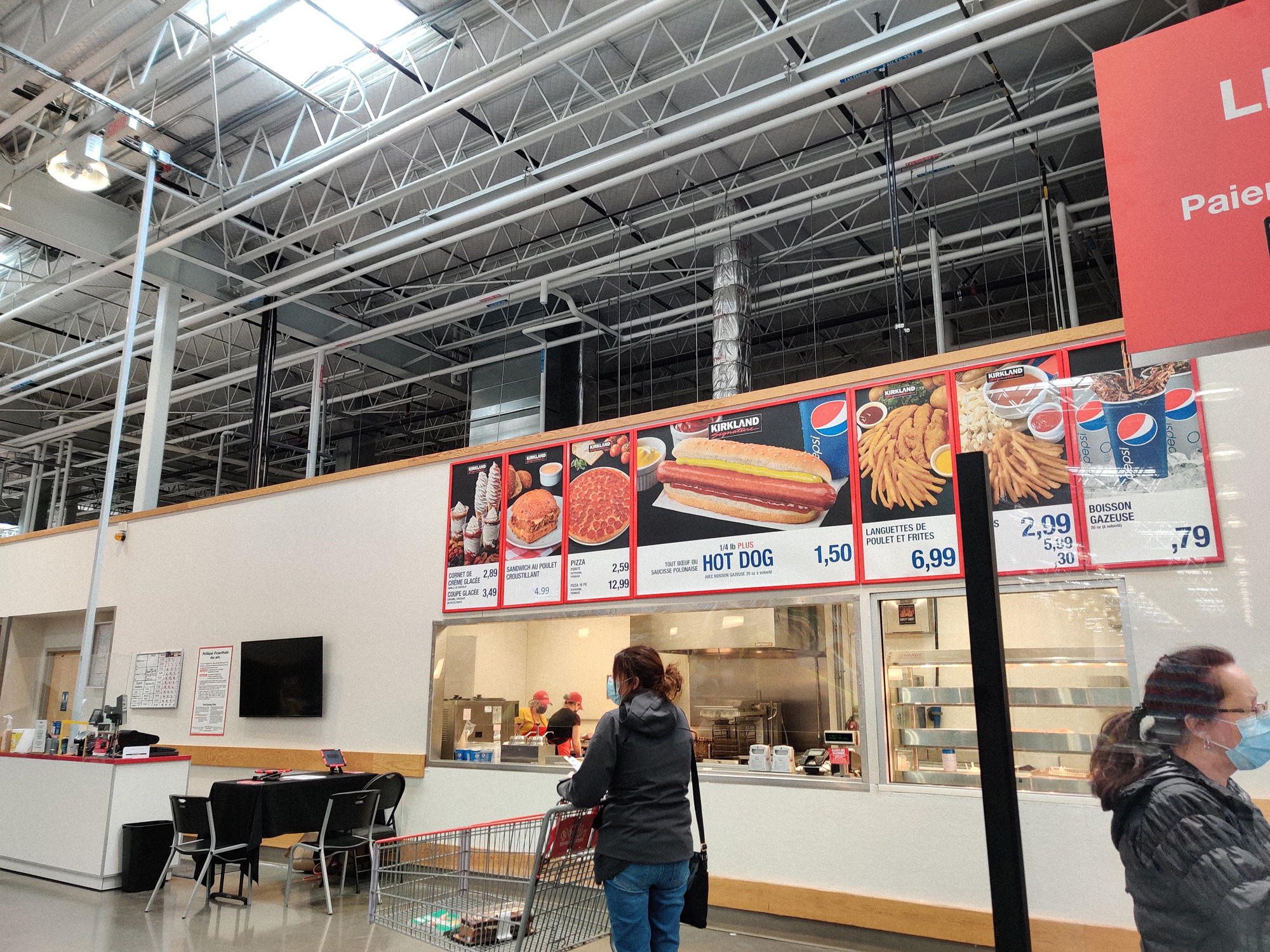
A slice of pizza, a hotdog, and a cup of Coke were just fine. I remember eating here several times. Shortly after getting to NS, I couldn't find them anymore.
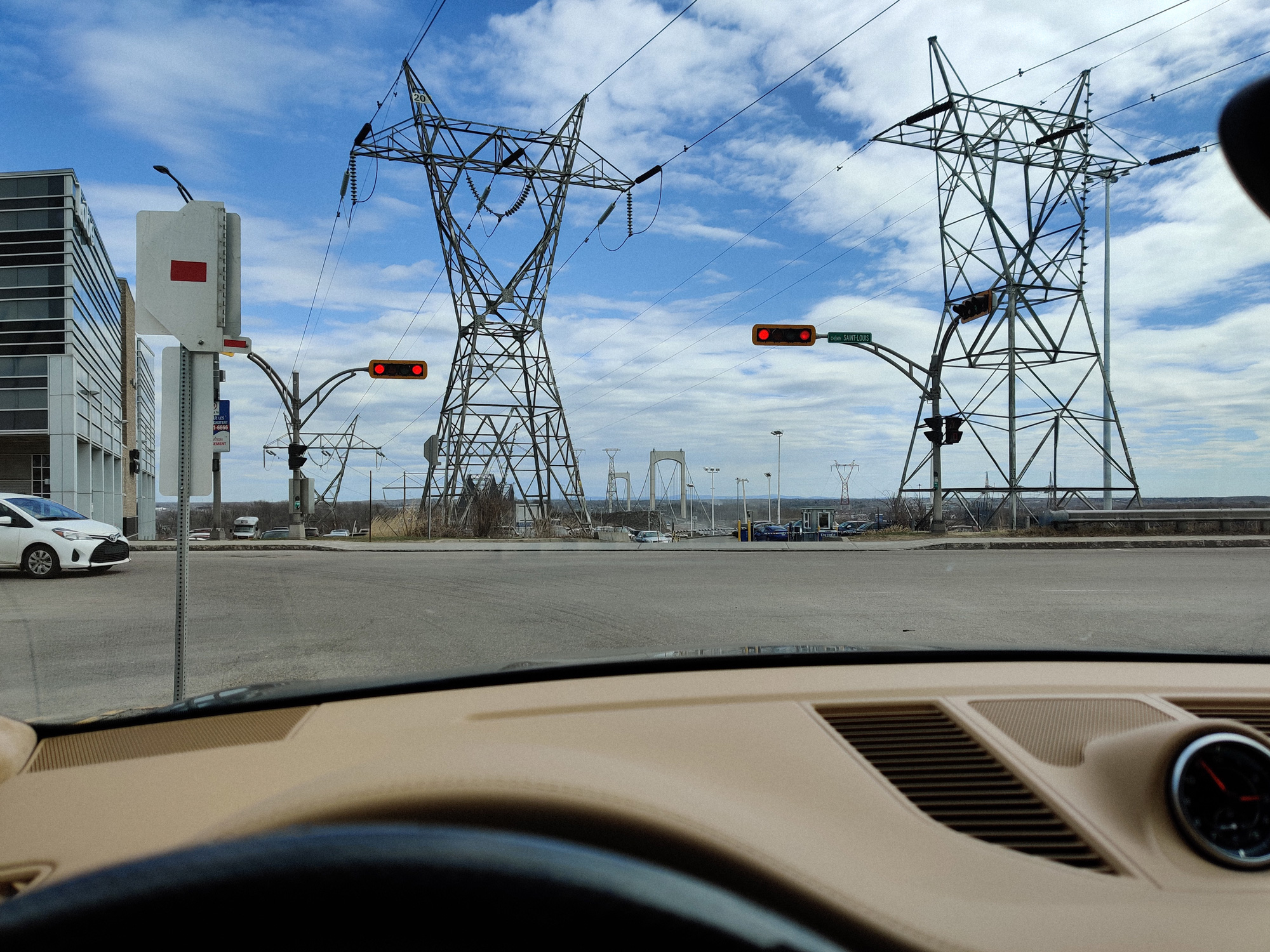
We briefly stopped in Quebec City (I snuck into a nearby hotel to use the restroom...)
I included many pictures in this article, and most of them are in their original 4:3 aspect ratio. To preserve as many details as possible, I did not crop them, which may result in some messiness or distortion.
Montmagny, QC
Unfortunately, a large part of the trip was spent driving on highways, so I couldn't take photos. After driving for some time, I decided to stop in this small town.
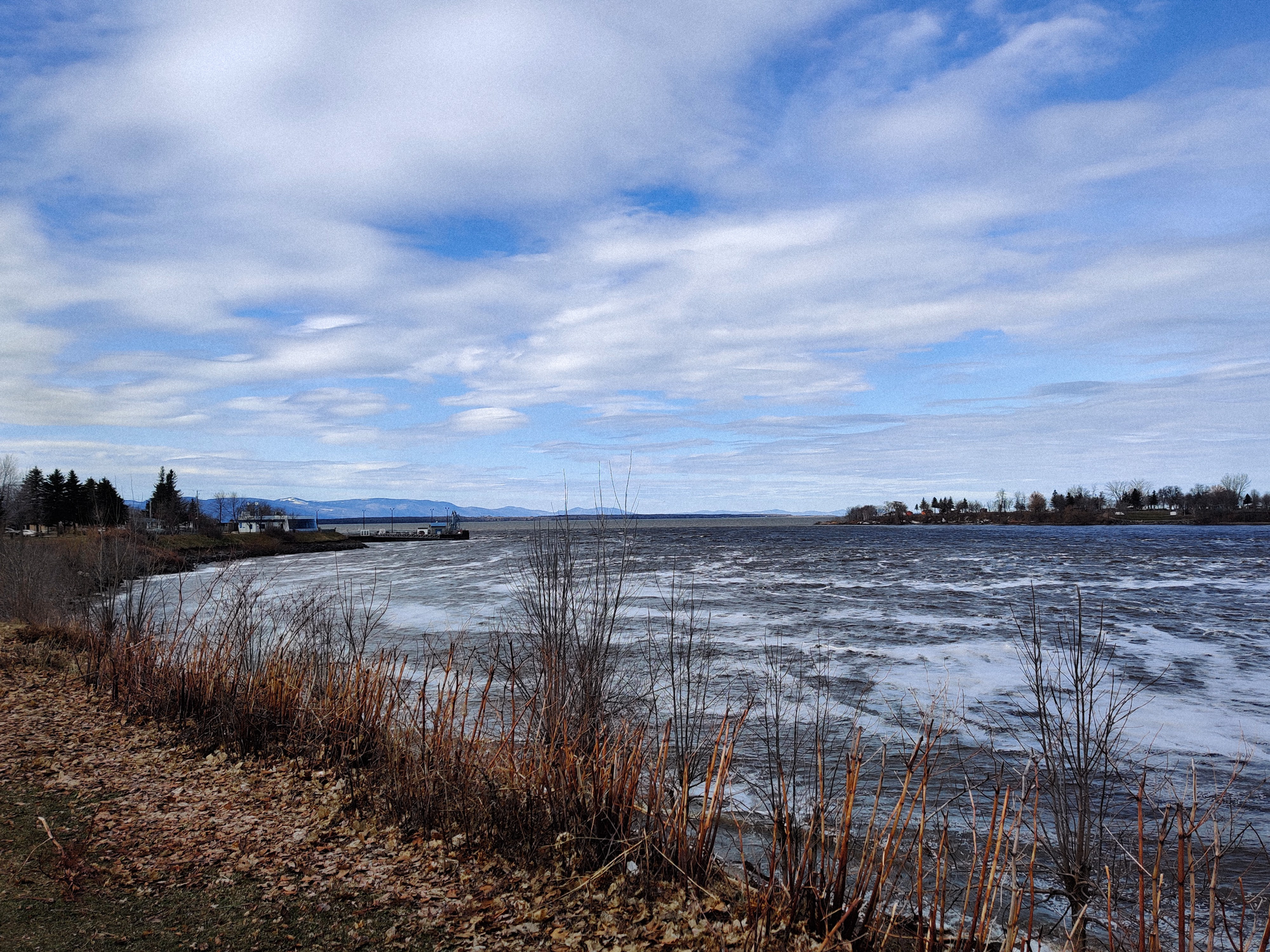
This place is very close to the river. I think I've already posted many similar pictures on my website, and I'm sure there will be more in the future.
I was curious why there were so many fallen leaves on the riverbank.
I could find something similar to a pier here, and something similar to a dam.
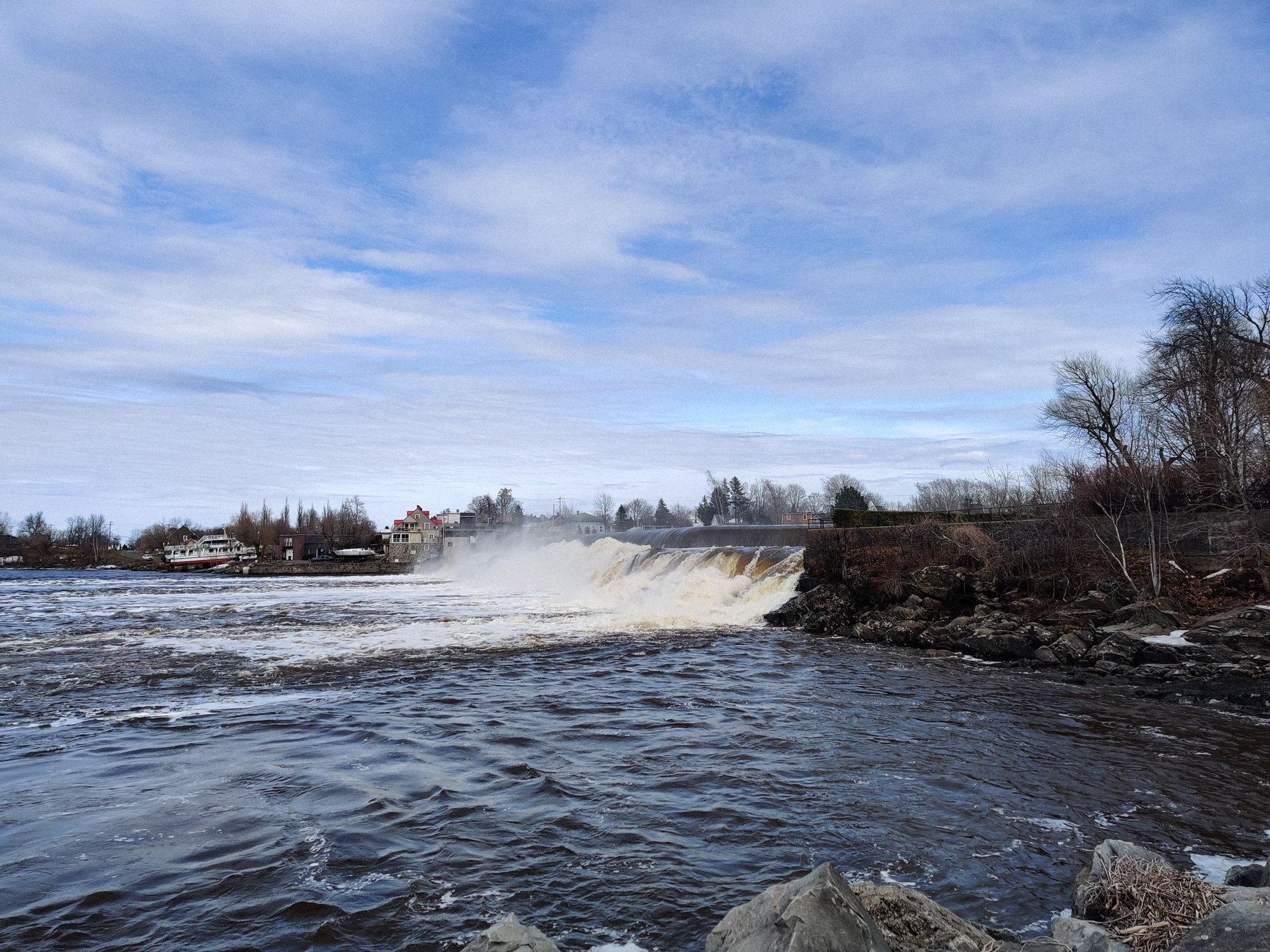
One thing that can be certain was that there was a small waterfall here. The water here looked very clean, but the riverbank was a bit high, so I couldn't touch it.
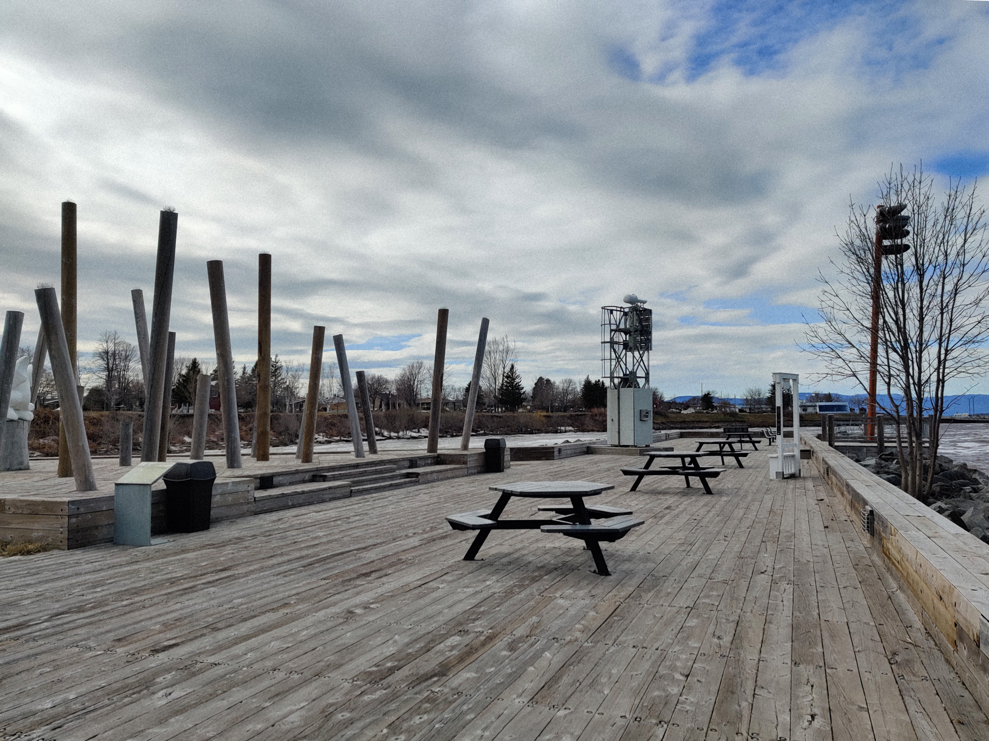
This park had a bunch of tilted pillars. I did not know what they were for.
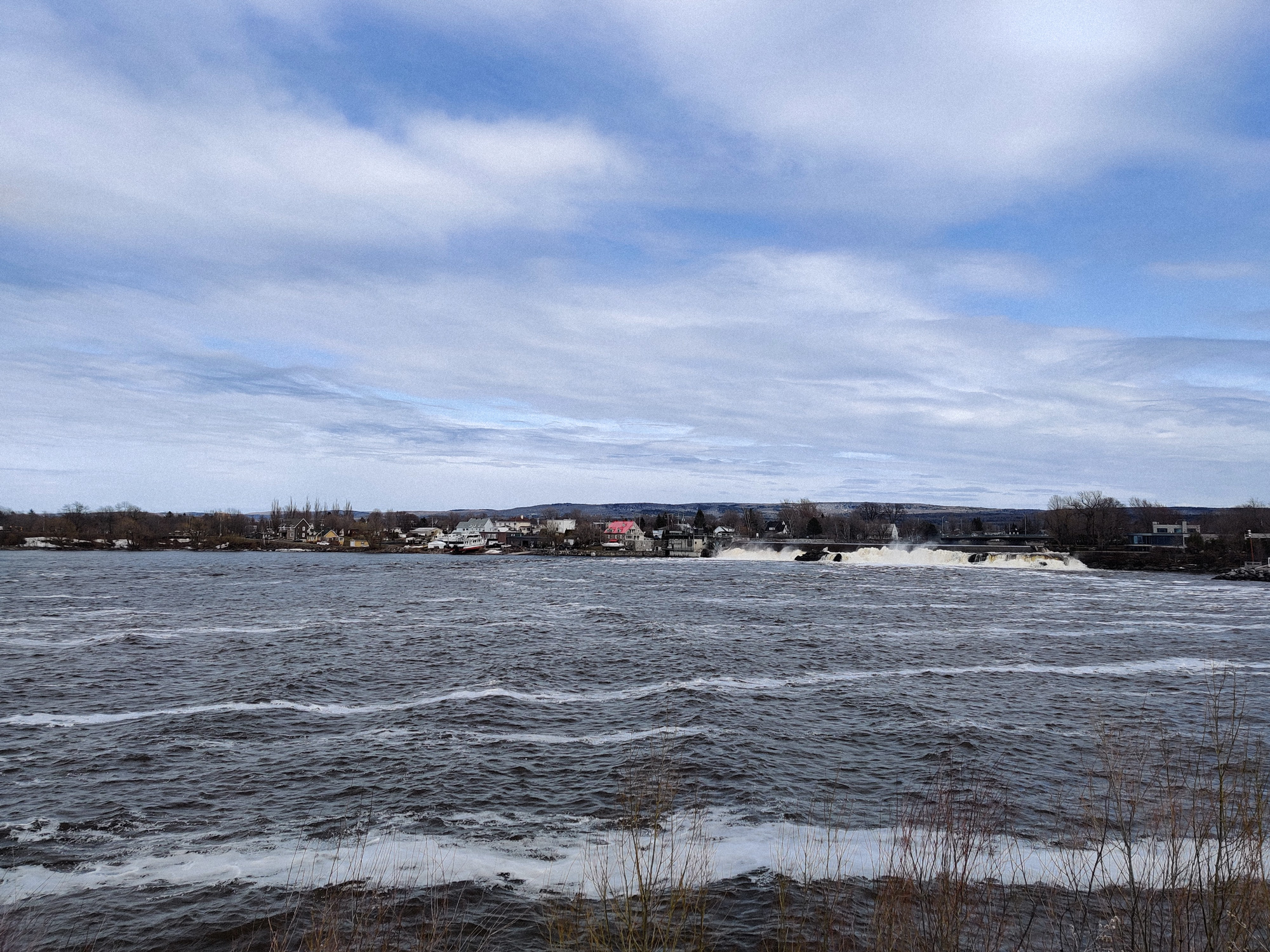
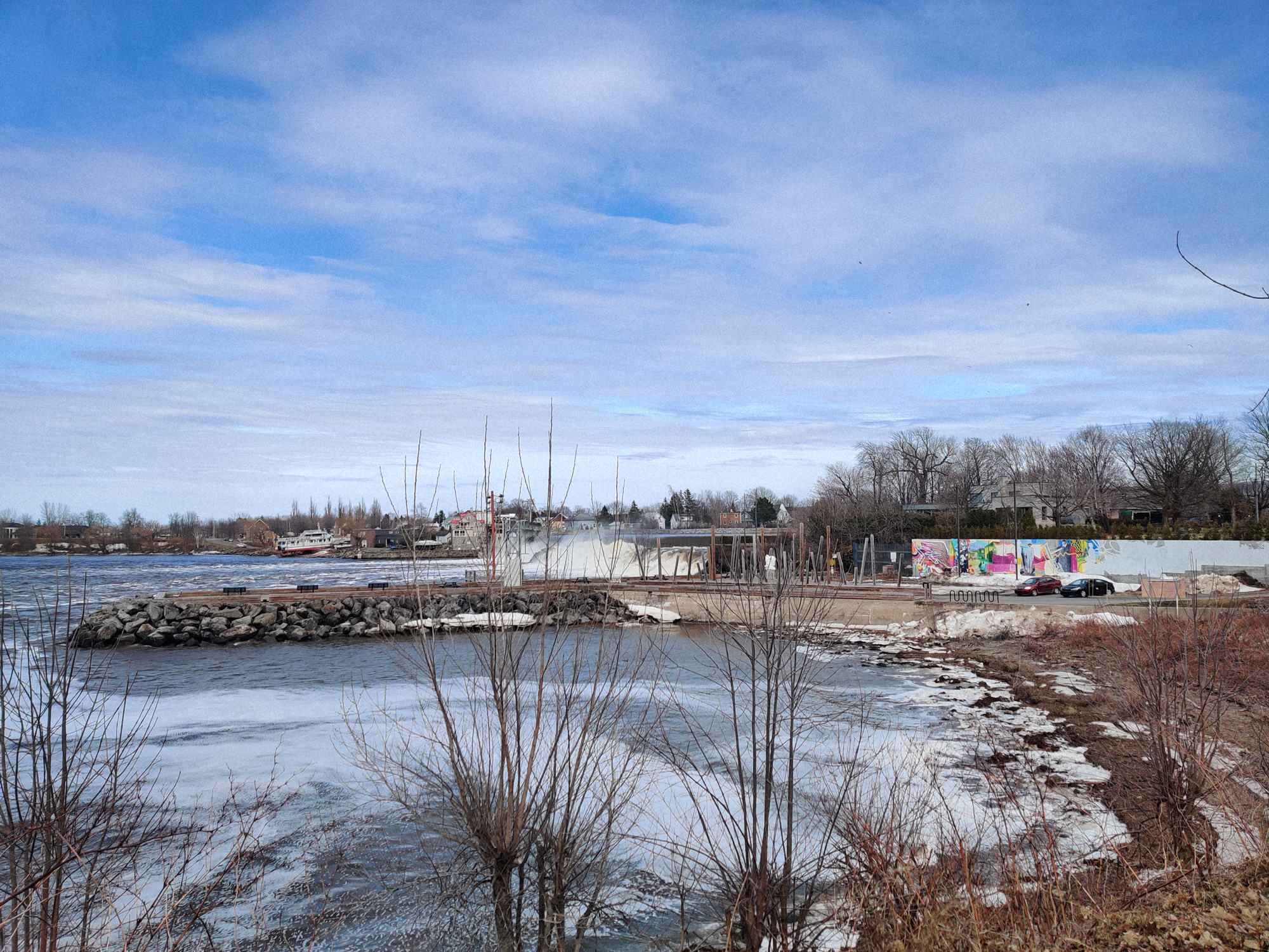
The other side of the basin.

Here was a "genuine" dock.
After I took this picture, many cars arrived and lined up to go to a small island in the middle of the river.
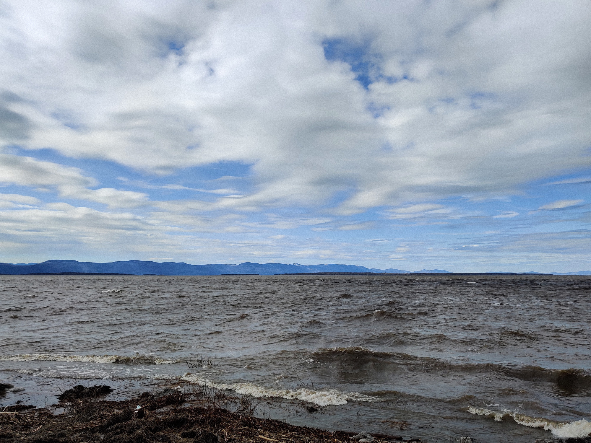
The other side of the river.
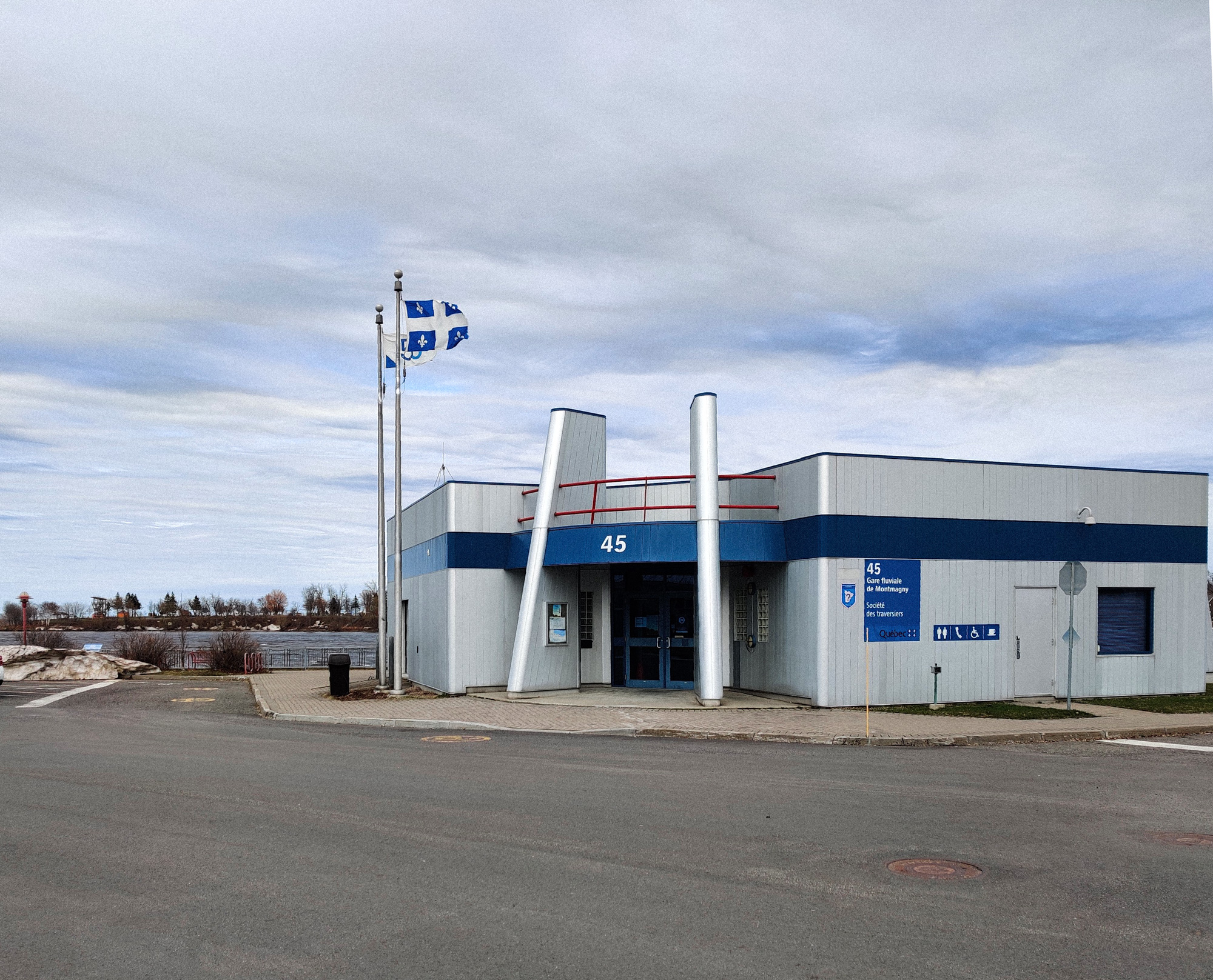
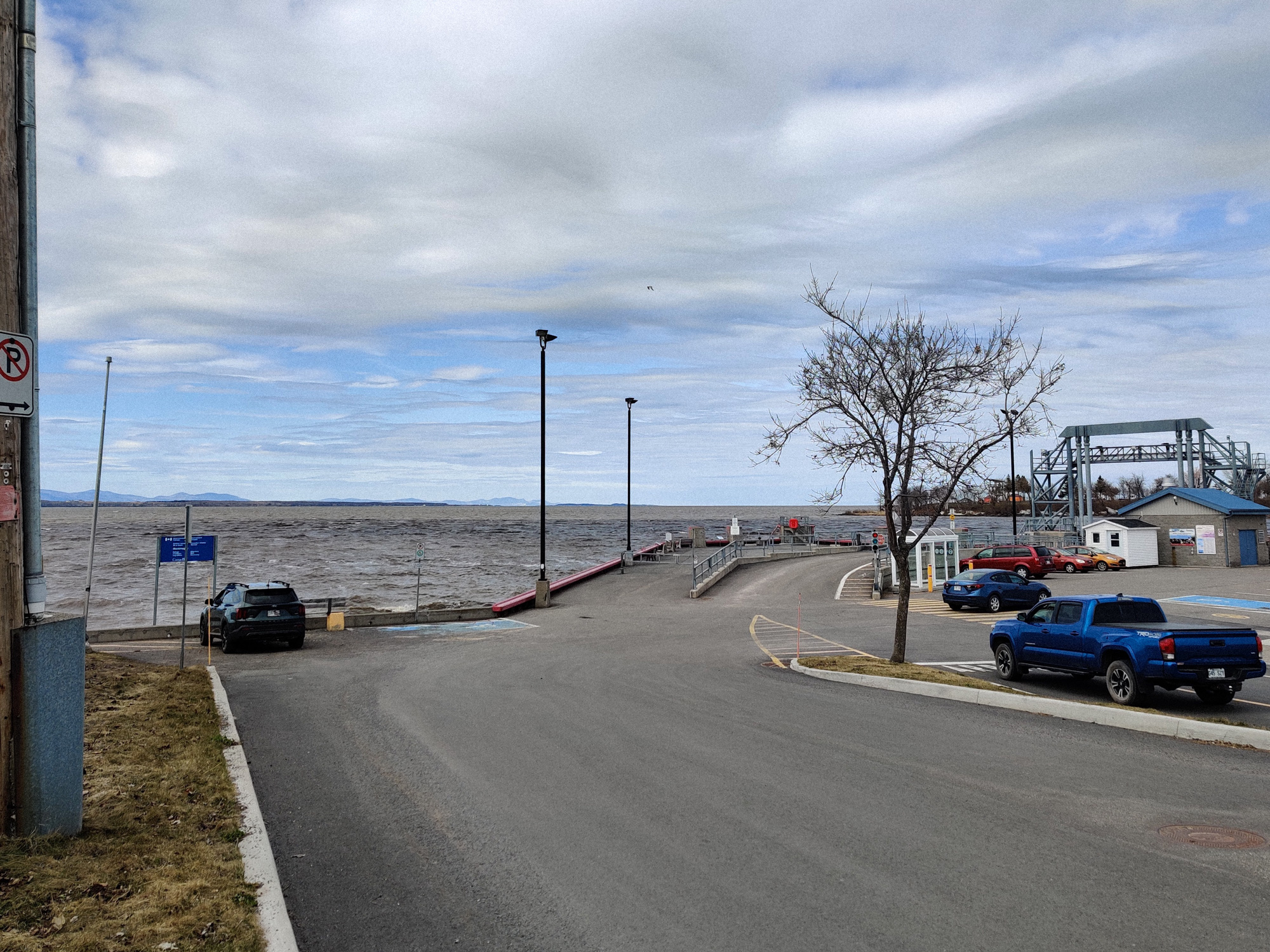
There was a tourist reception area near the dock. It's worth noting that the appearance of the building did not matter, but the fact that there were only two flags here, without a maple leaf flag, haha.
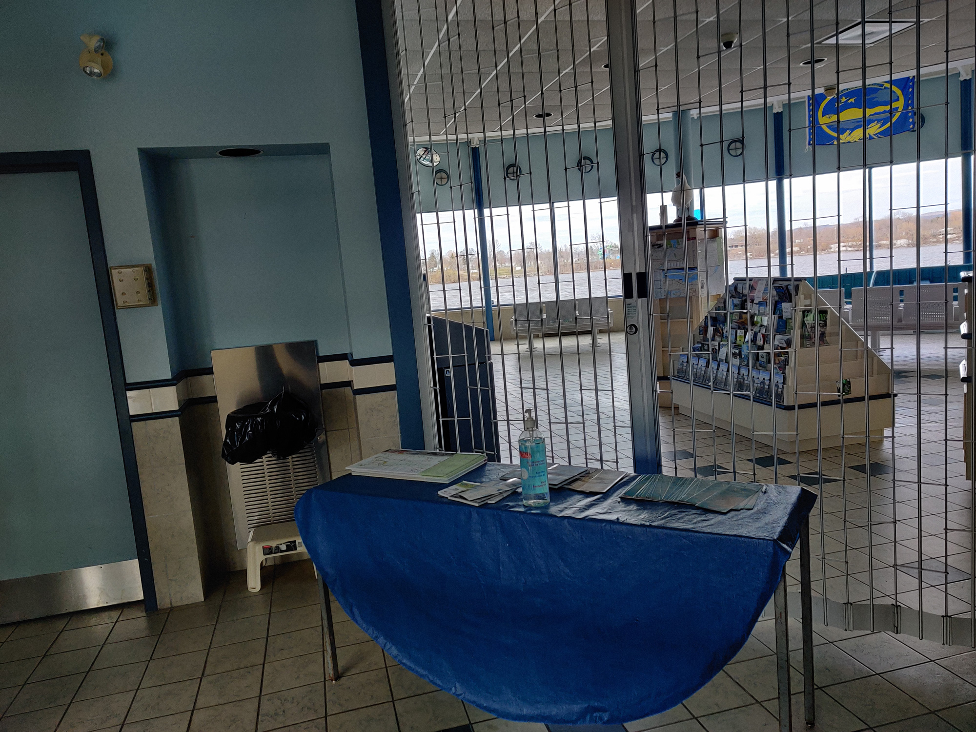
Perhaps because it's still the COVID period in theory, except for the restrooms, the inside was not open. There was a blue tablecloth here with a blue disinfectant bottle and some maps on it.
I took a map as a souvenir.
Edmundston, NB
After a brief stop in Montmagny, it's time to hit the road again. Our goal for this day was to reach the province of New Brunswick.
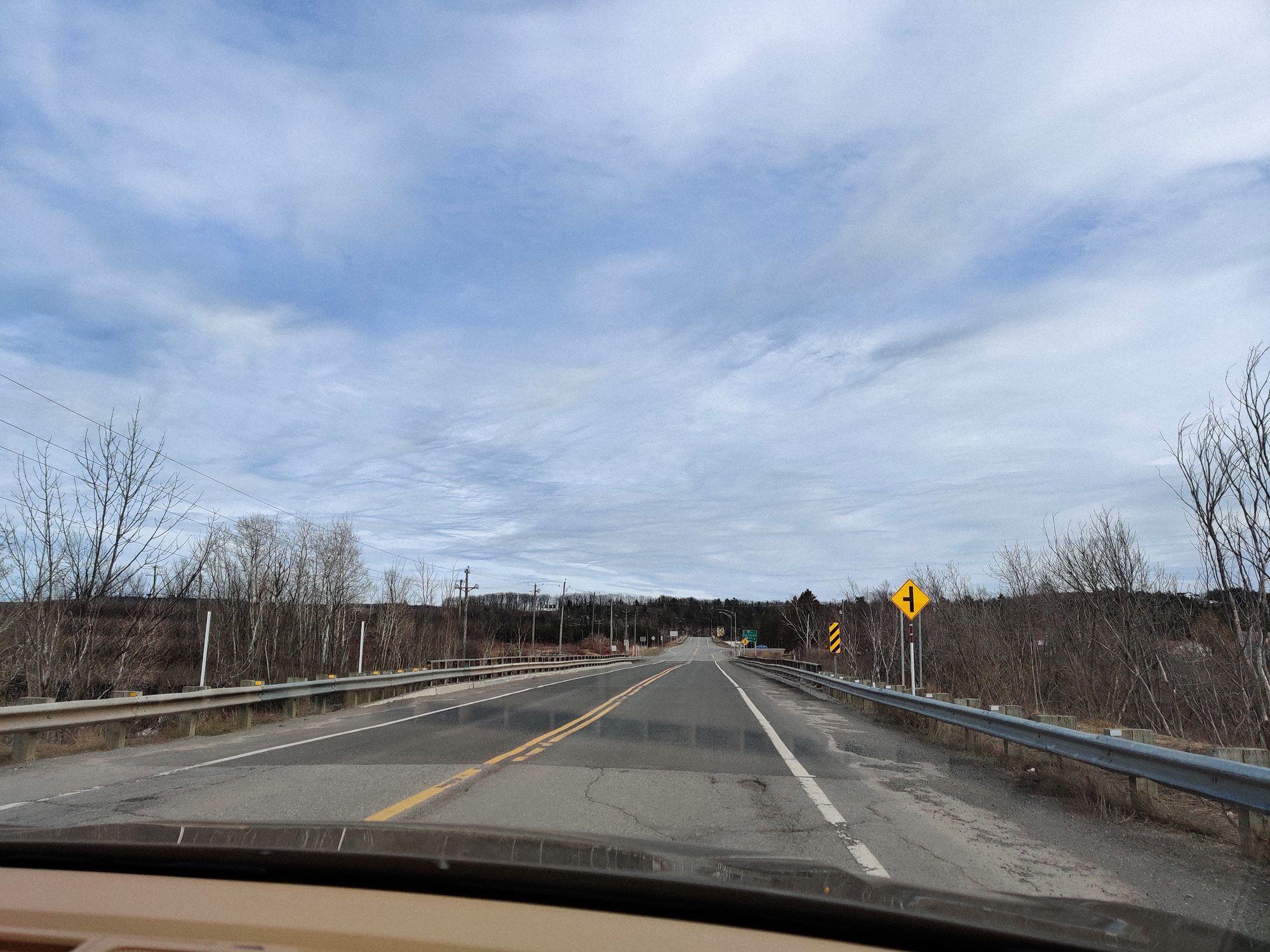
Departed from the town.
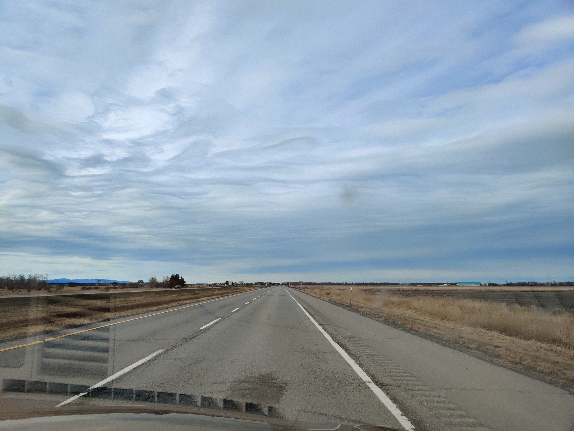
Back to the endless flat fields again (except for the mountains in the distance).
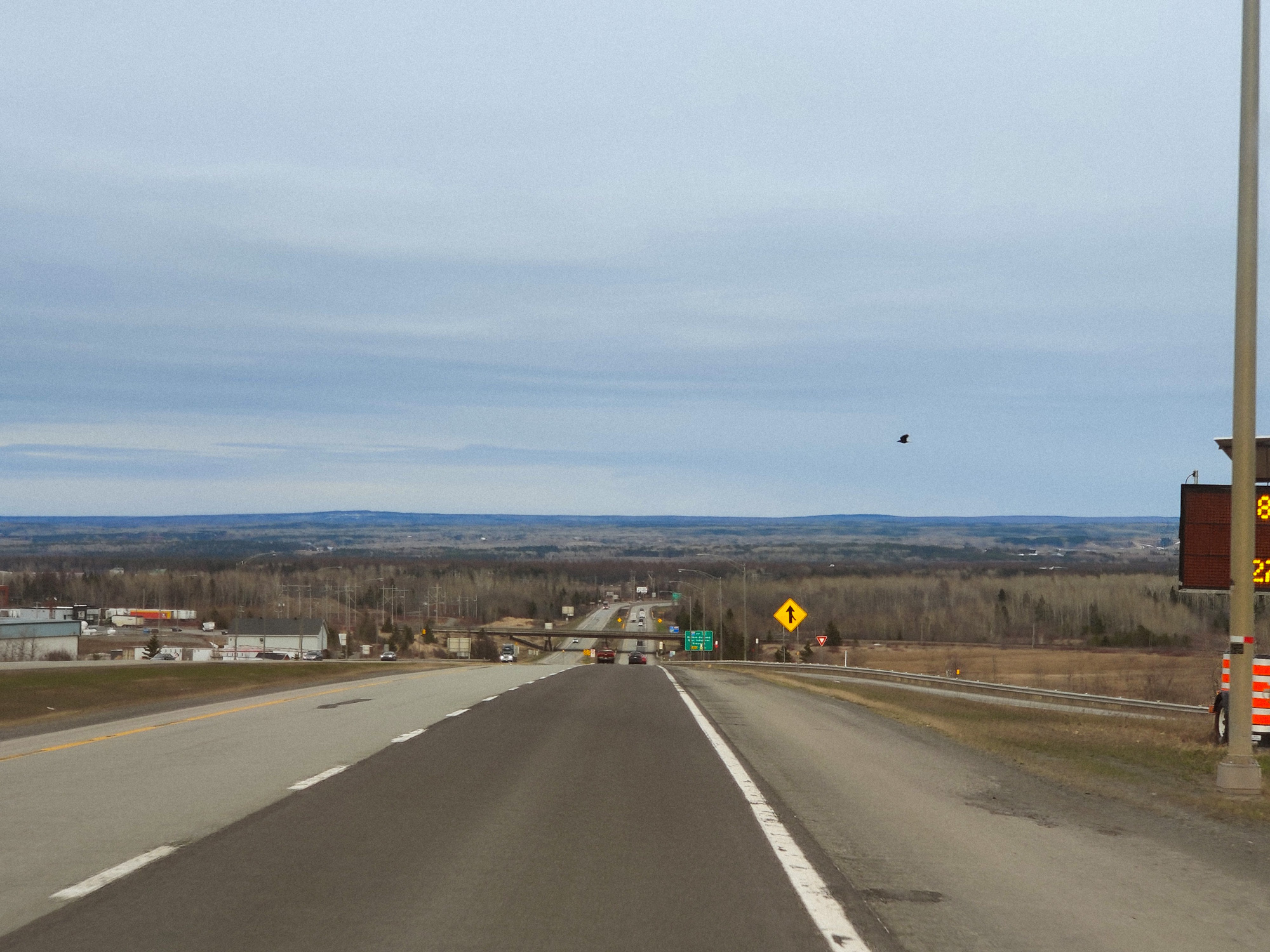
I had to ask the driver to slow down on purpose to take this photo. Mountains were everywhere in the distance, which is really rare in Ontario.
I also spotted a bird (probably a crow) along the way.
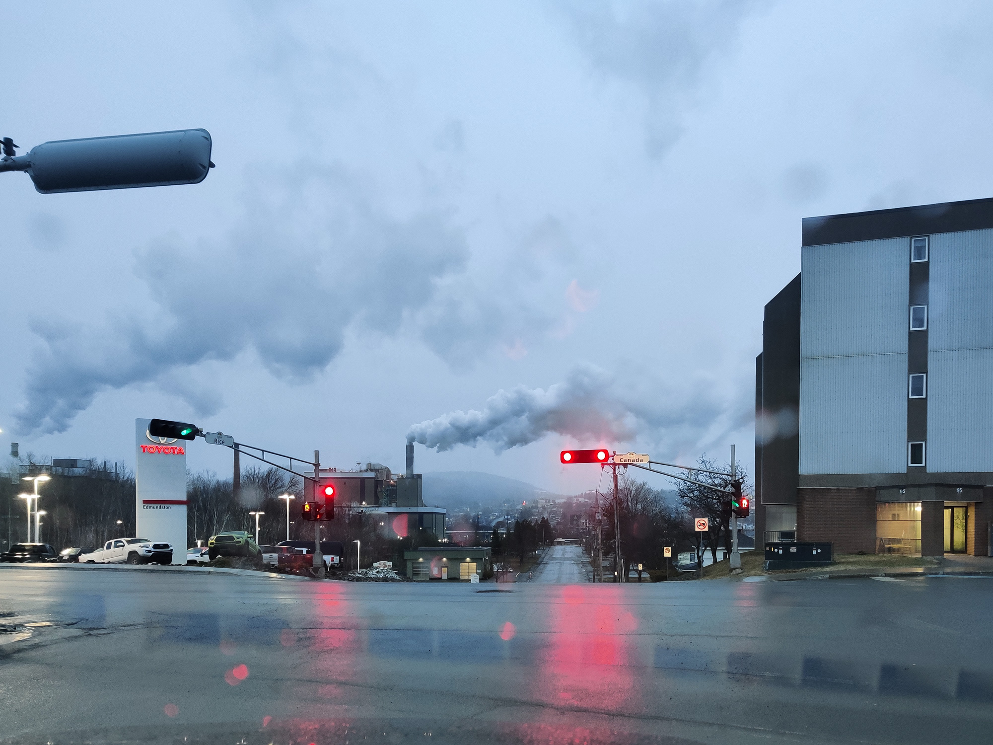
Arriving at our destination, it was already evening (and the clock was set back an hour during the journey because of the time difference).
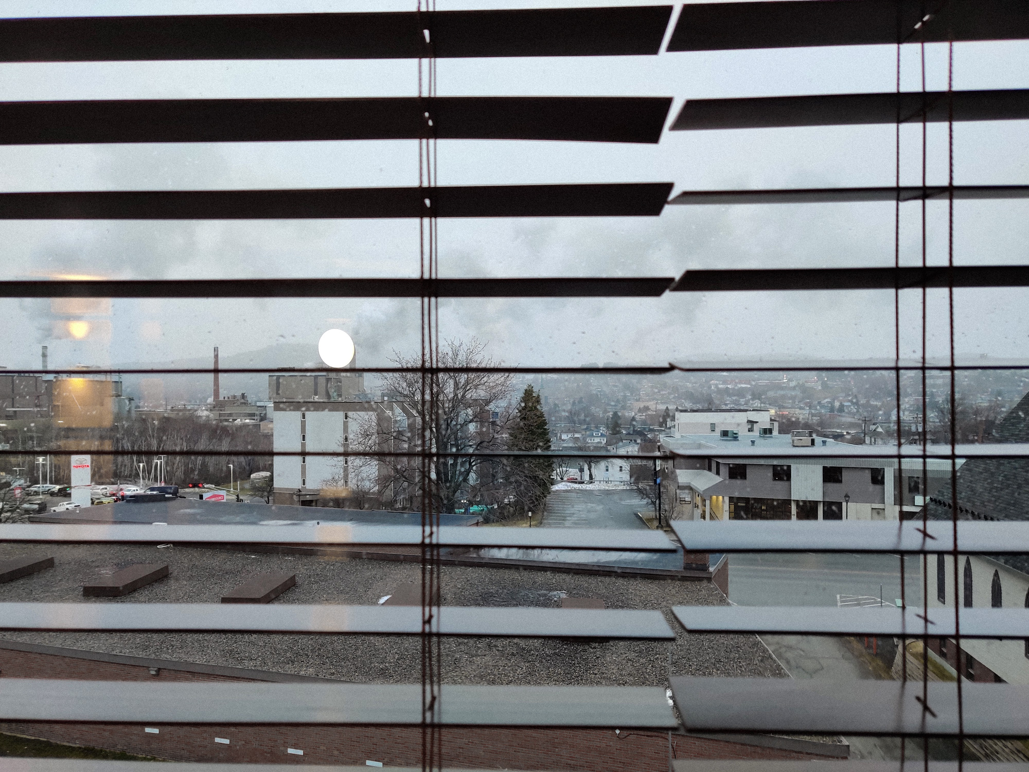
It seemed that it had just snowed here, and so the blue mist was thick in the sky. There were many white smokes and chimneys around the city. We were only here for a rest, so we would not be visiting any places.
Let us rest here.
The names of the roads here were all French, but all the signs were in English.
I wondered if the other side of the river was Maine?
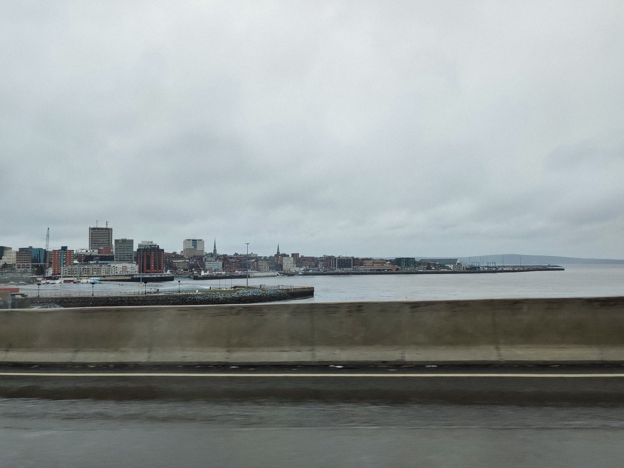
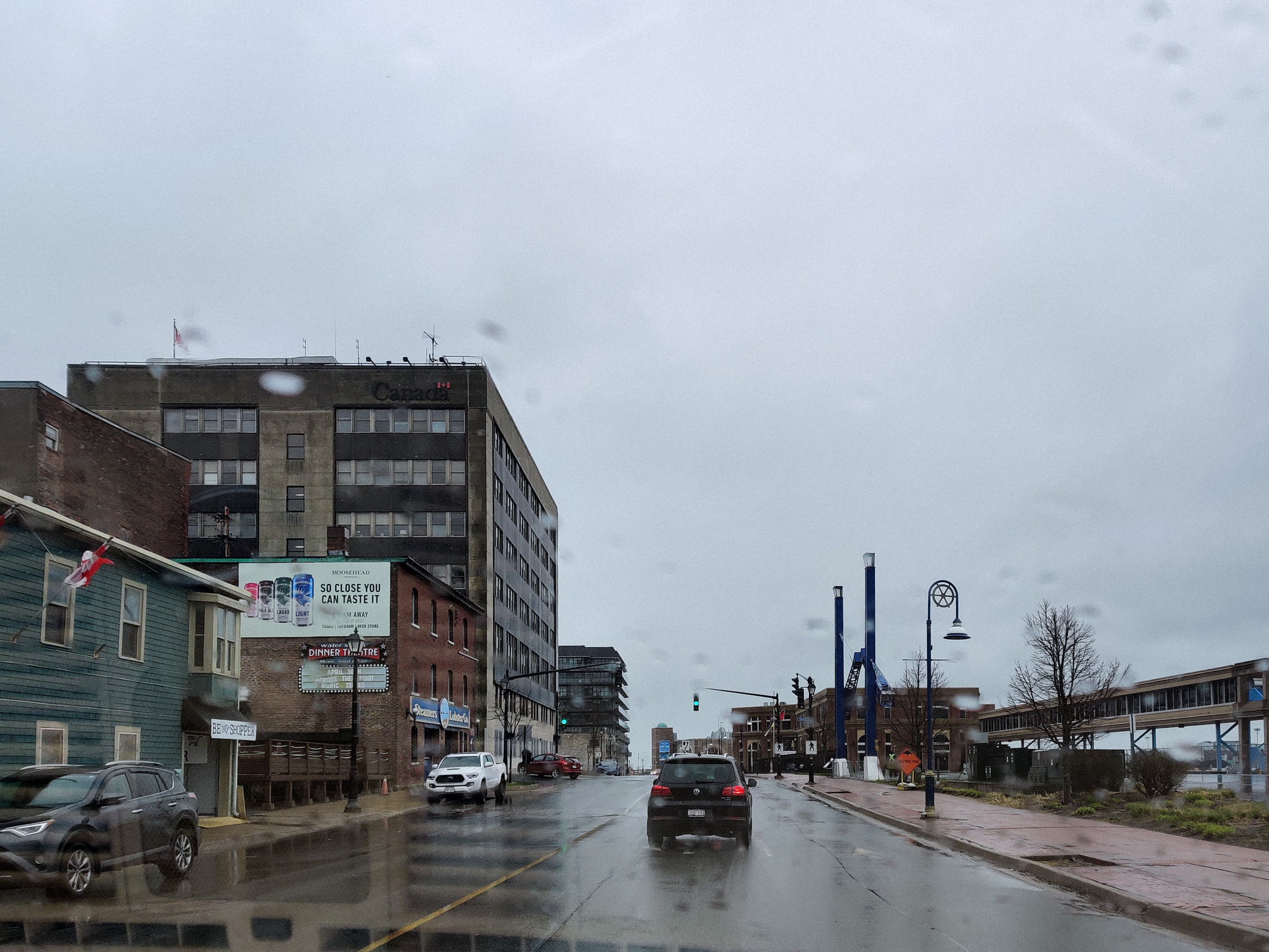
Saint John, NB
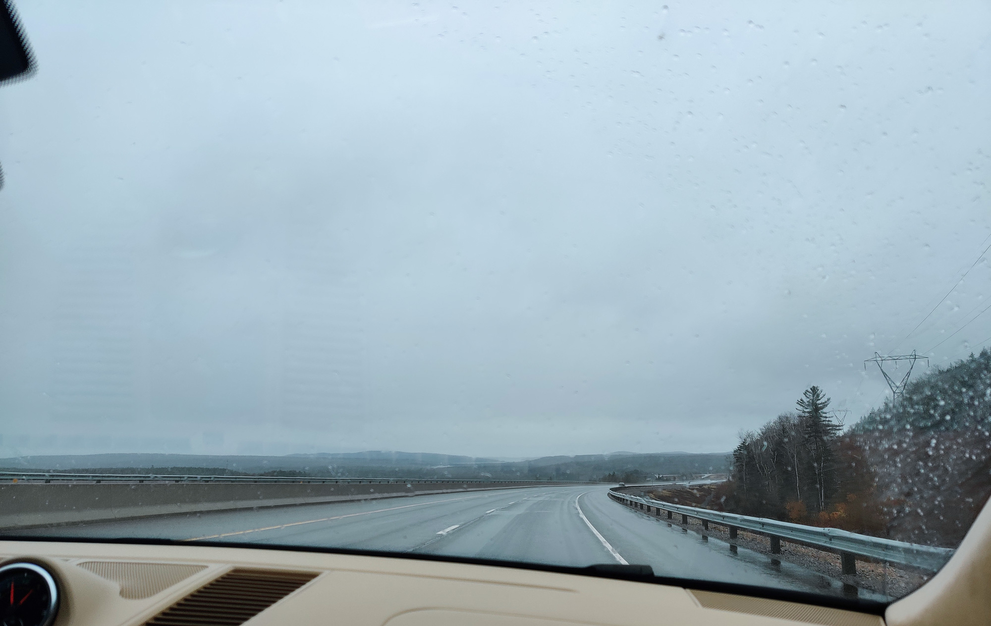
The resting was over and it was time to continue. It started to rain on the way.
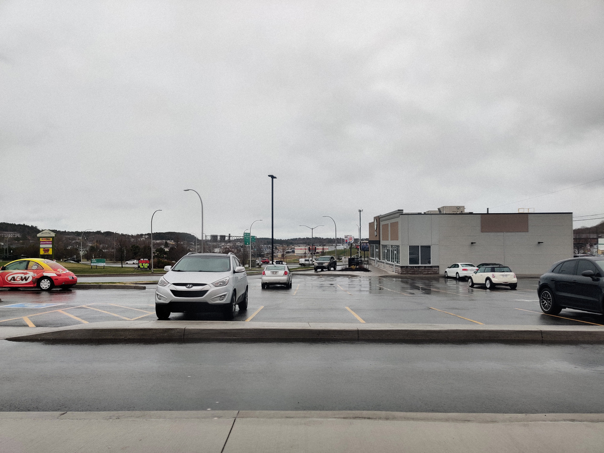
The first stop in St. John was here for lunch (or was it breakfast? I don't remember). The name of the fast food restaurant was printed on the cute little car on the left.
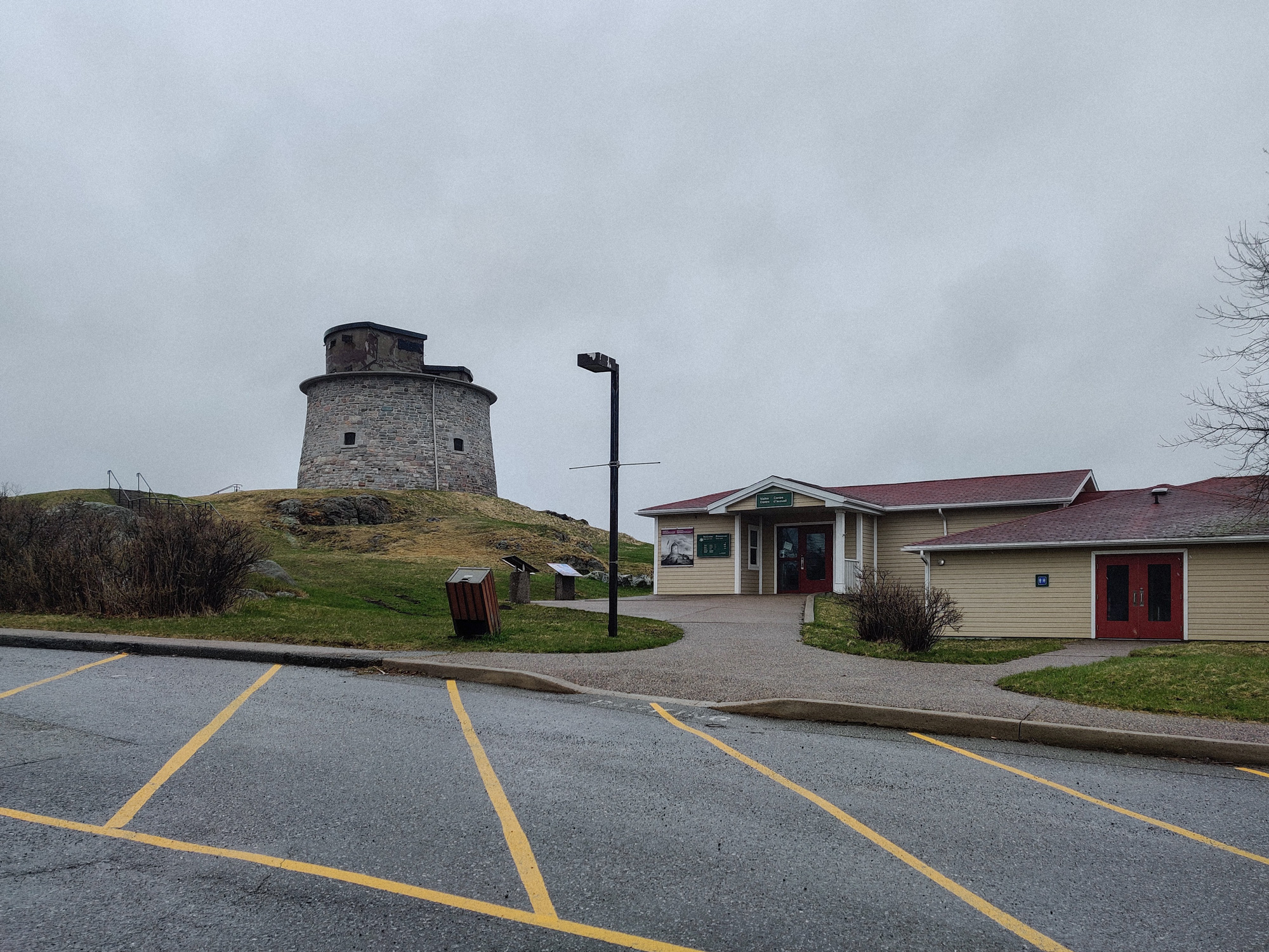
Then we came to Carleton Martello Tower National Historic Site.
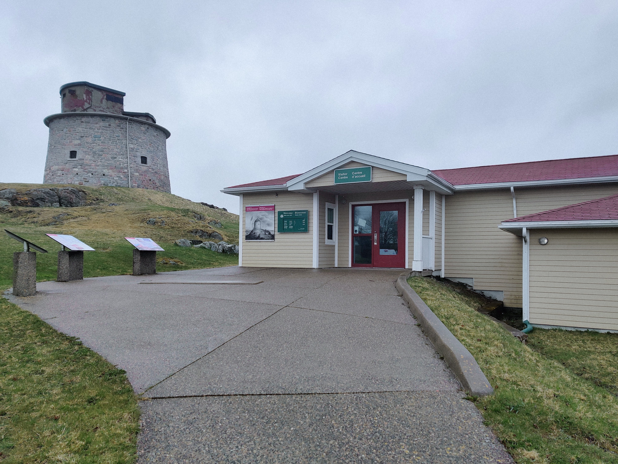
Of course, not surprisingly, everything was closed.
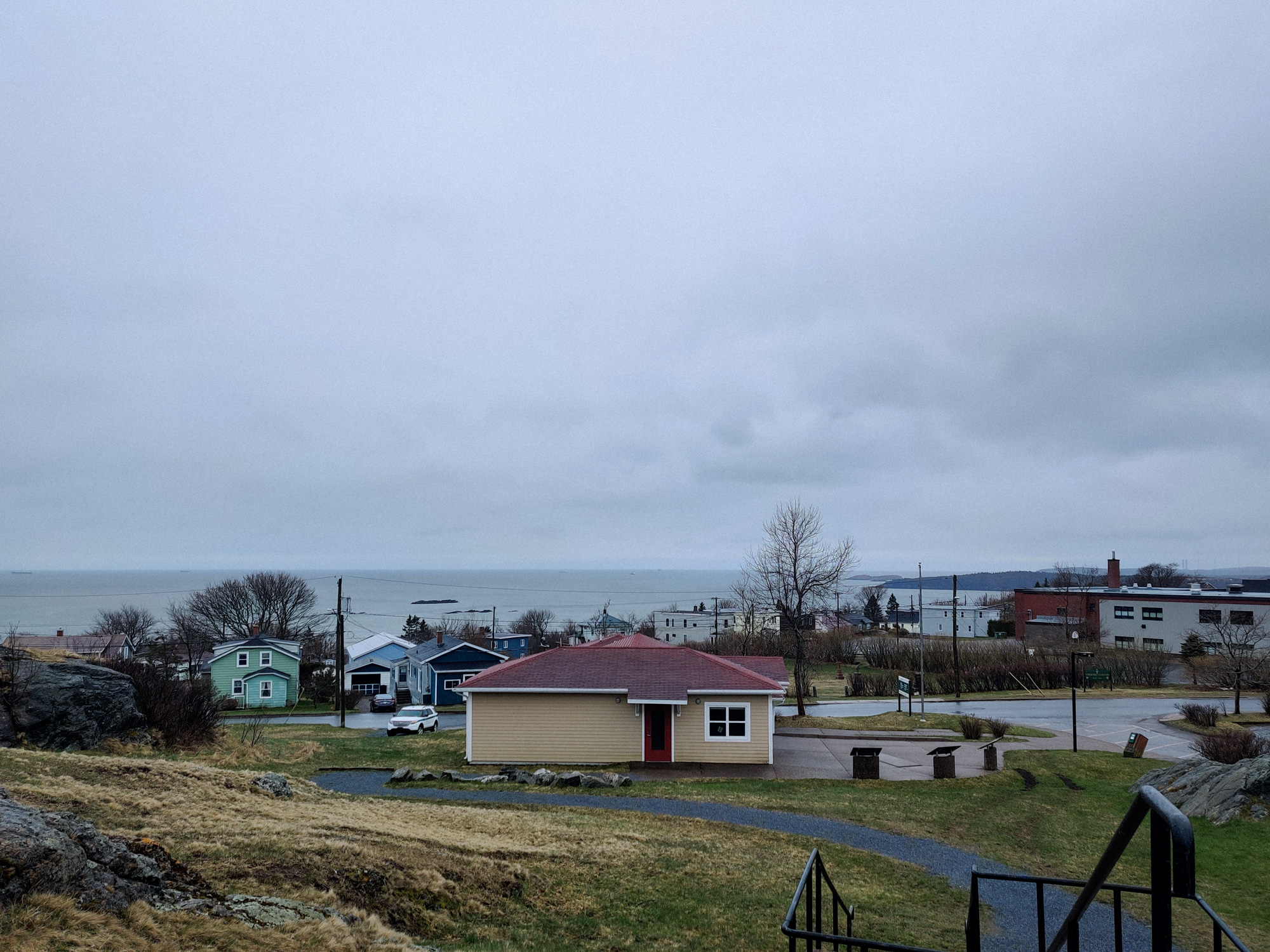
Standing on a high place and looking southward.
Standing on a high place and looking northward.
Now we were going to cross the bridge to the north side of the river.
Unexpectedly, it started raining again.
The buildings here look so ancient, haha.
Continuing to the Tin Can Beach. At first, I thought it was a sandy beach, but after seeing the name, I didn't think it was a beach.
But it's definitely by the sea.
Looking back; there's nothing much to see...
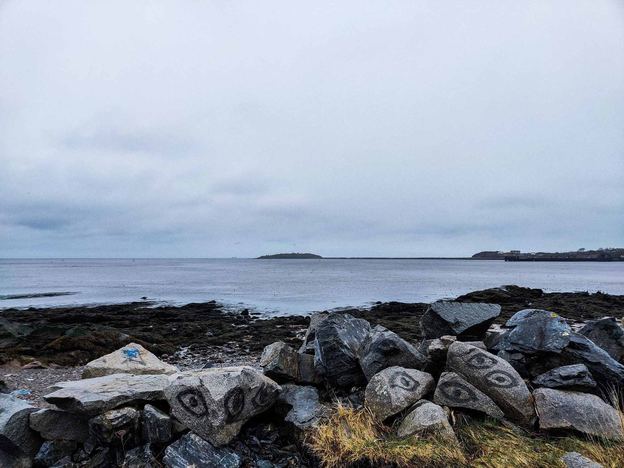
Some interesting rocks on the shore. It was claimed on the internet that some people were looking for fossils here.
What the hell.
PEI
It seemed that we only stayed in St John for a few hours and then headed to PEI:
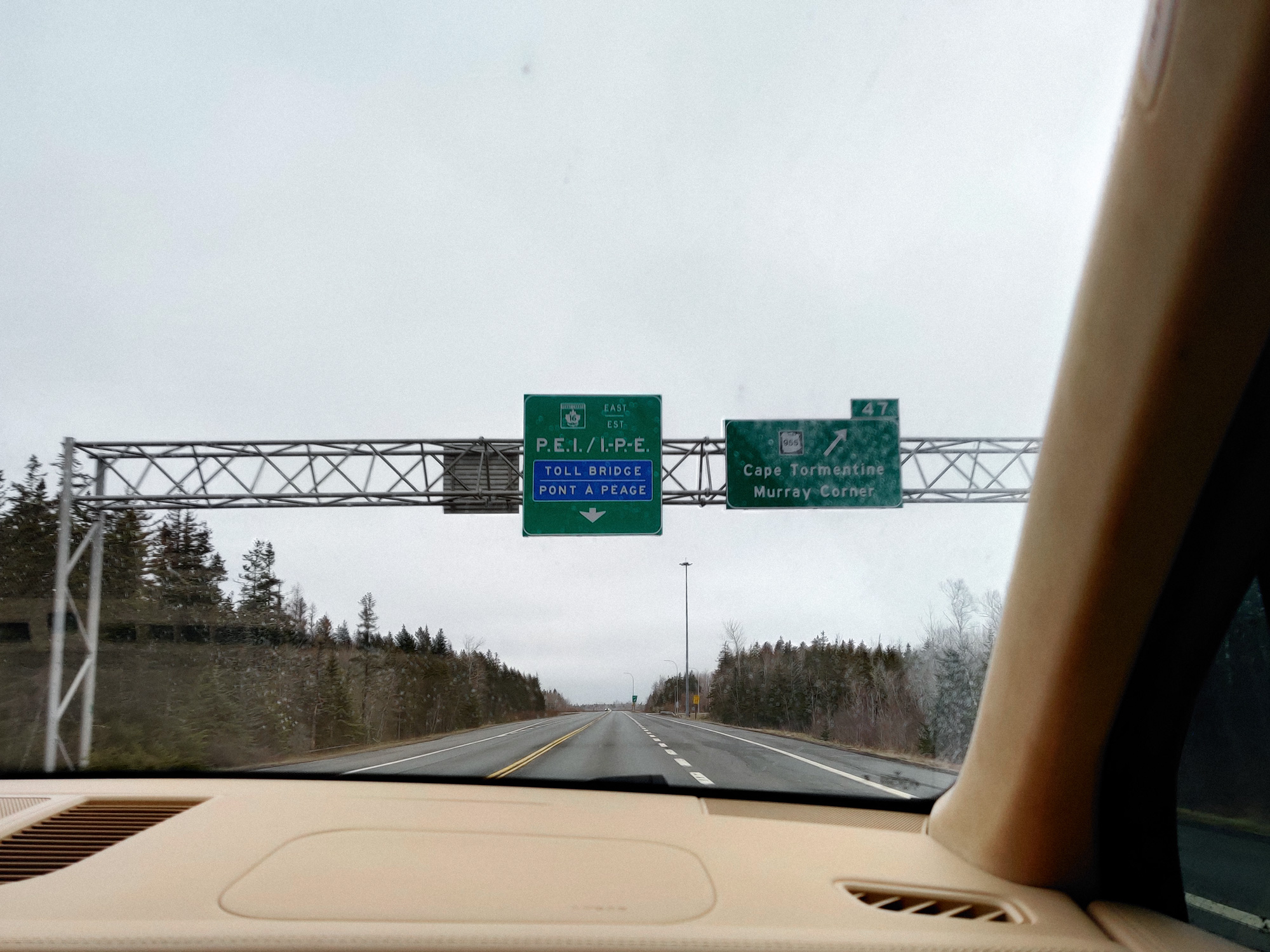
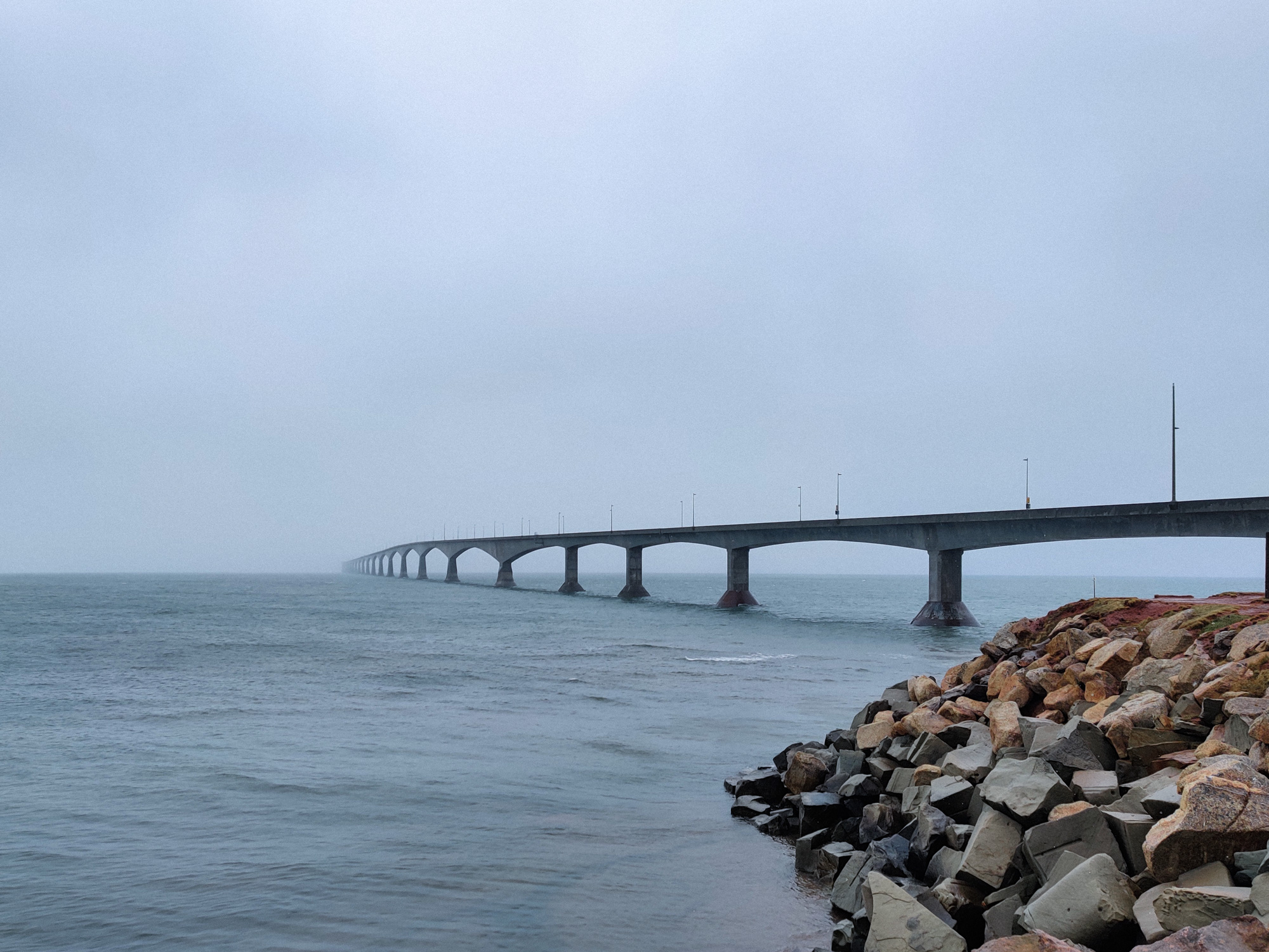
To get to the island, one could only go through the Confederation Bridge or take the ferry. This is the entrance to the bridge.
Oh, it's all foggy. Just try to do your best to see it.
We just come down from the bridge. It's quite puzzling that there was no toll along the way (we'll have to wait and see).
It seemed that the smaller the place, the more delicate and pretty the arrangement of objects.
I feel that the terrain with a bit of disorder or varying is more attractive.
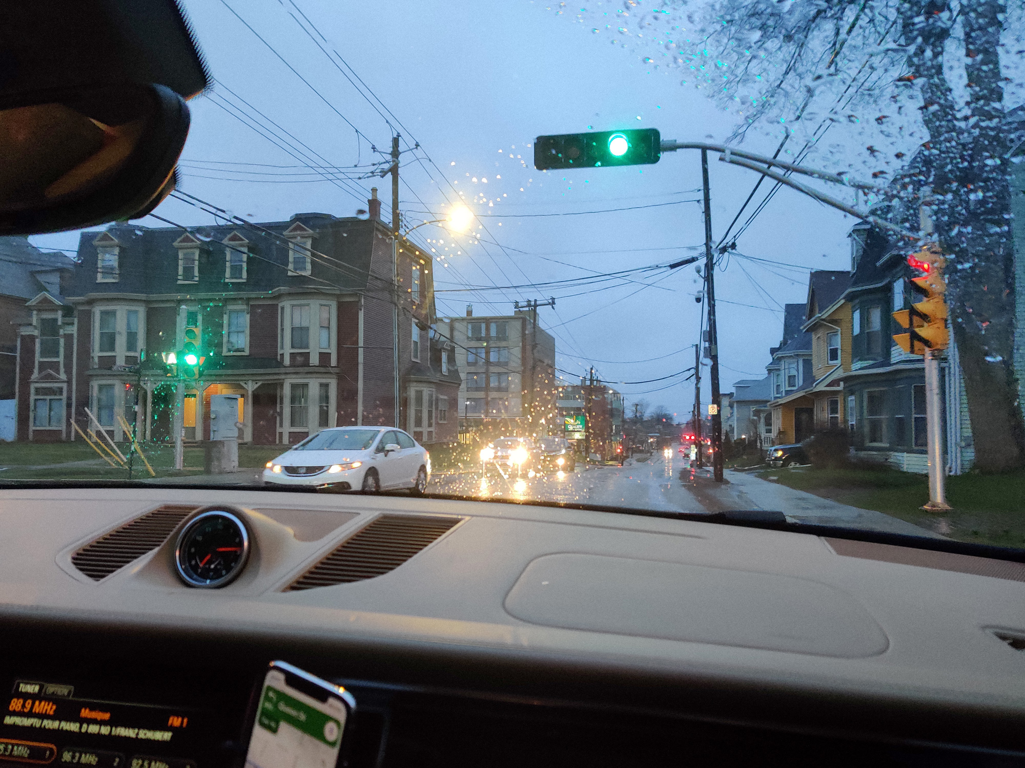
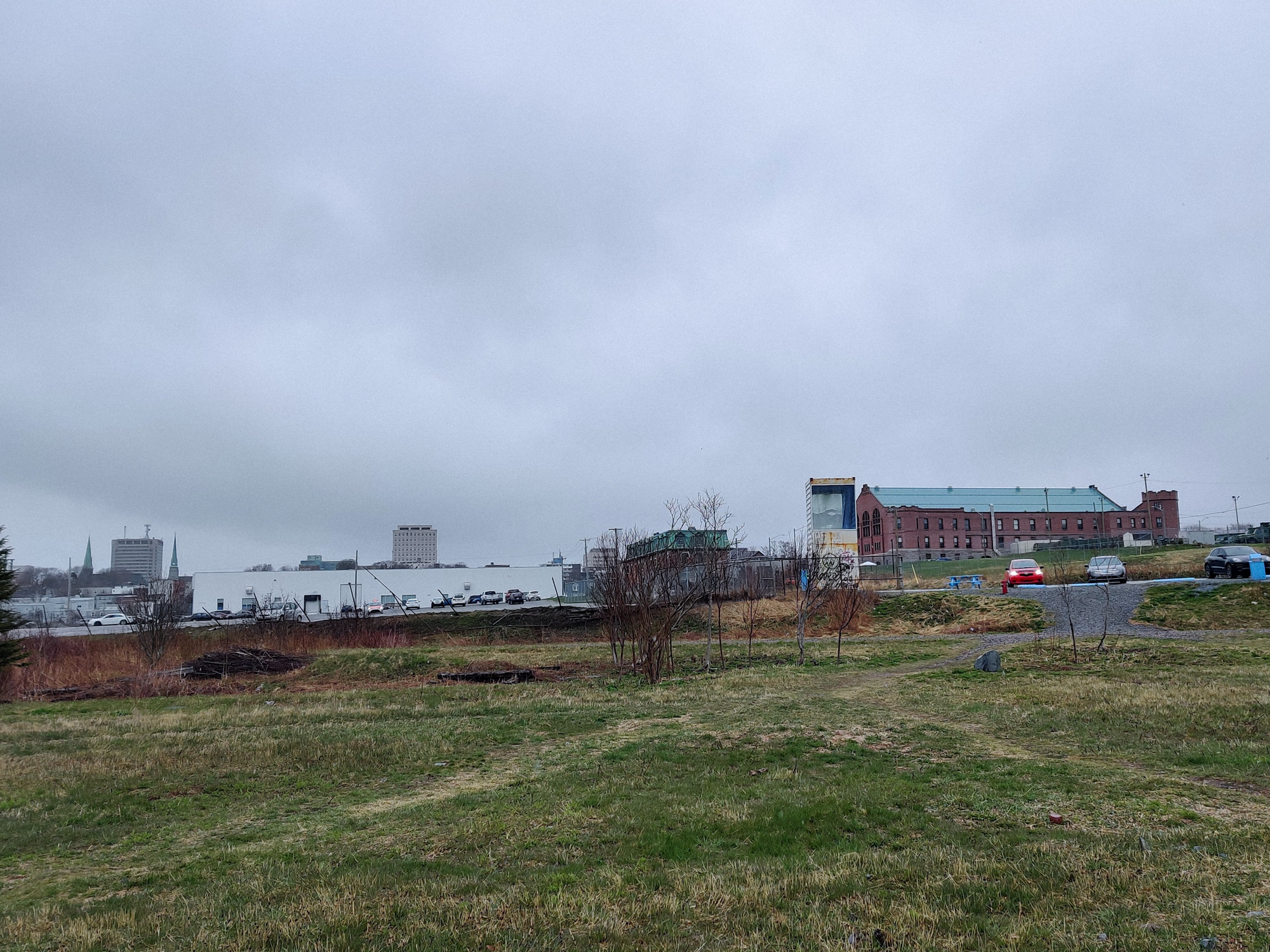
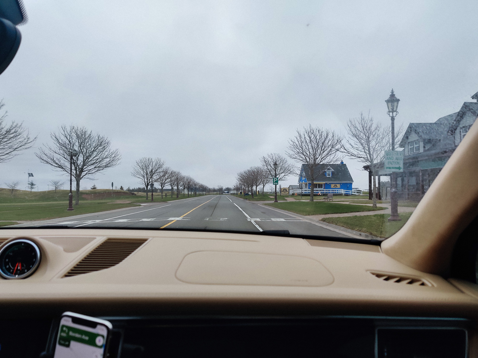
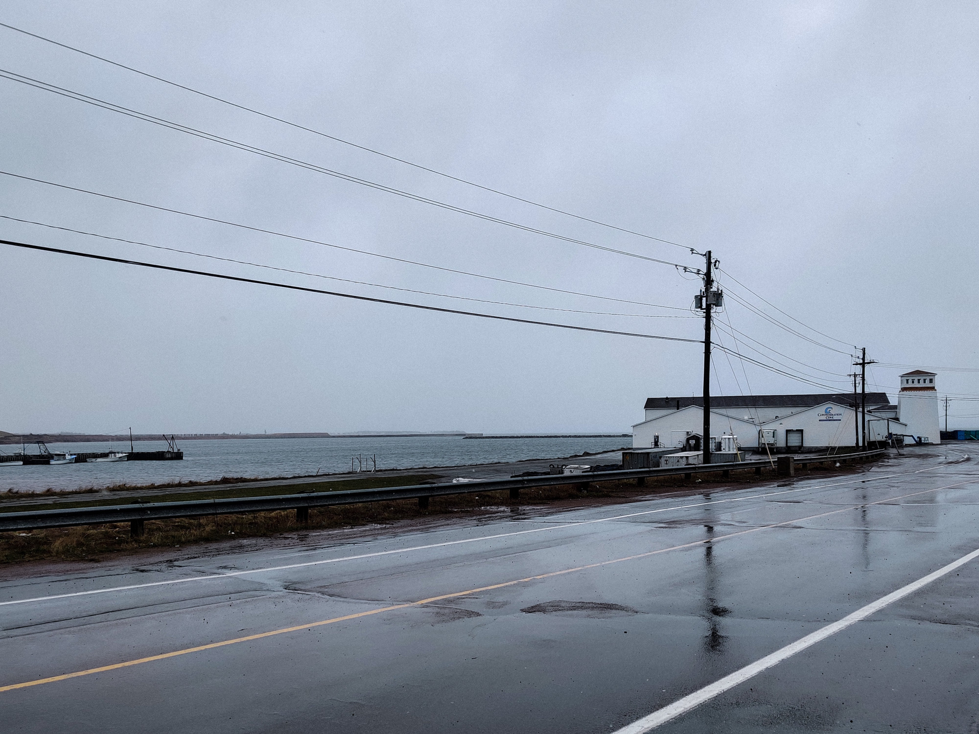
We were going to Charlottetown for dinner tonight. The buildings and objects in the city downtown looked old (even though I praised them earlier; it seemed that only superficial work was done)...
Tonight we were staying at a motel located 2 kilometers away from the city.
The owner was an Asian, amazing.
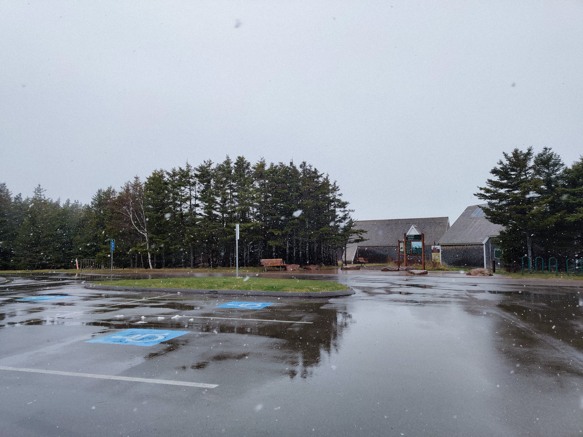
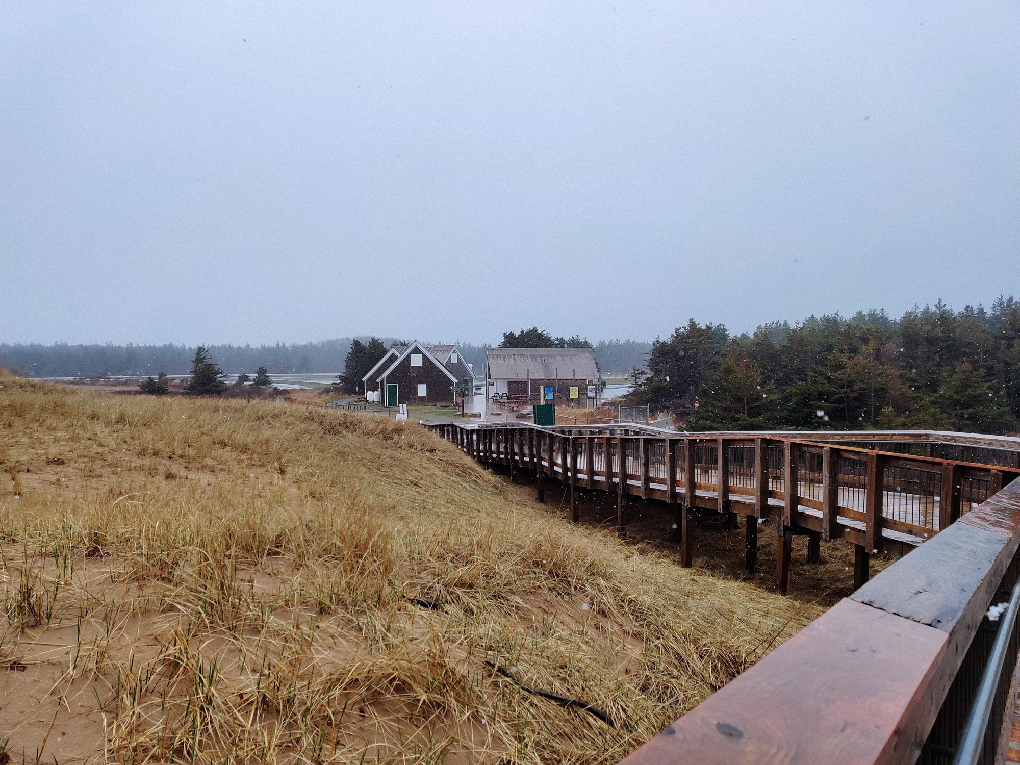
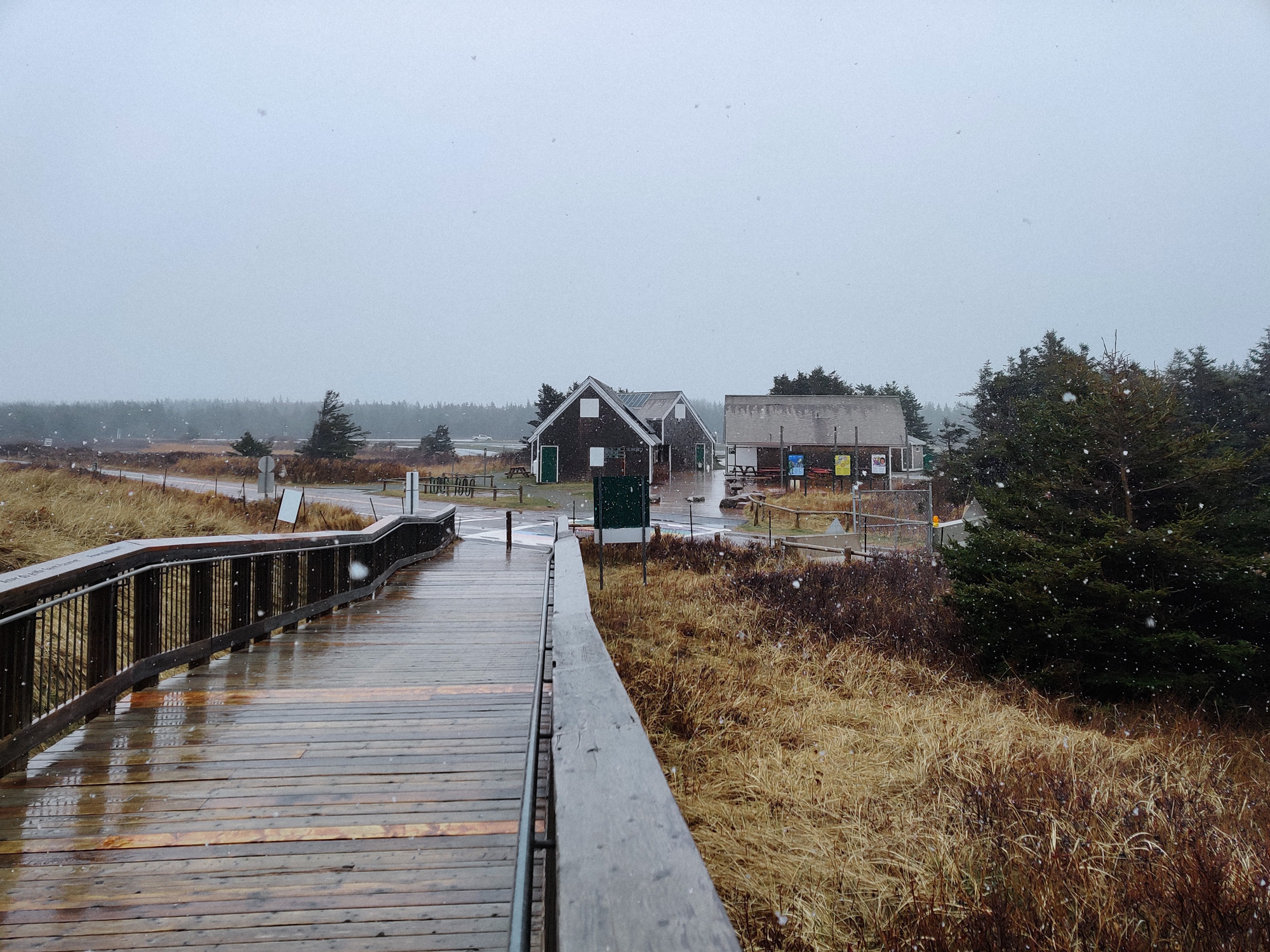
Another day. We got up early and came to Prince Edward Island National Park in the morning.
The snow and wind were quite strong this morning, and there was no one in the parking lot. Only people like me would choose to come out at such an awkward time.
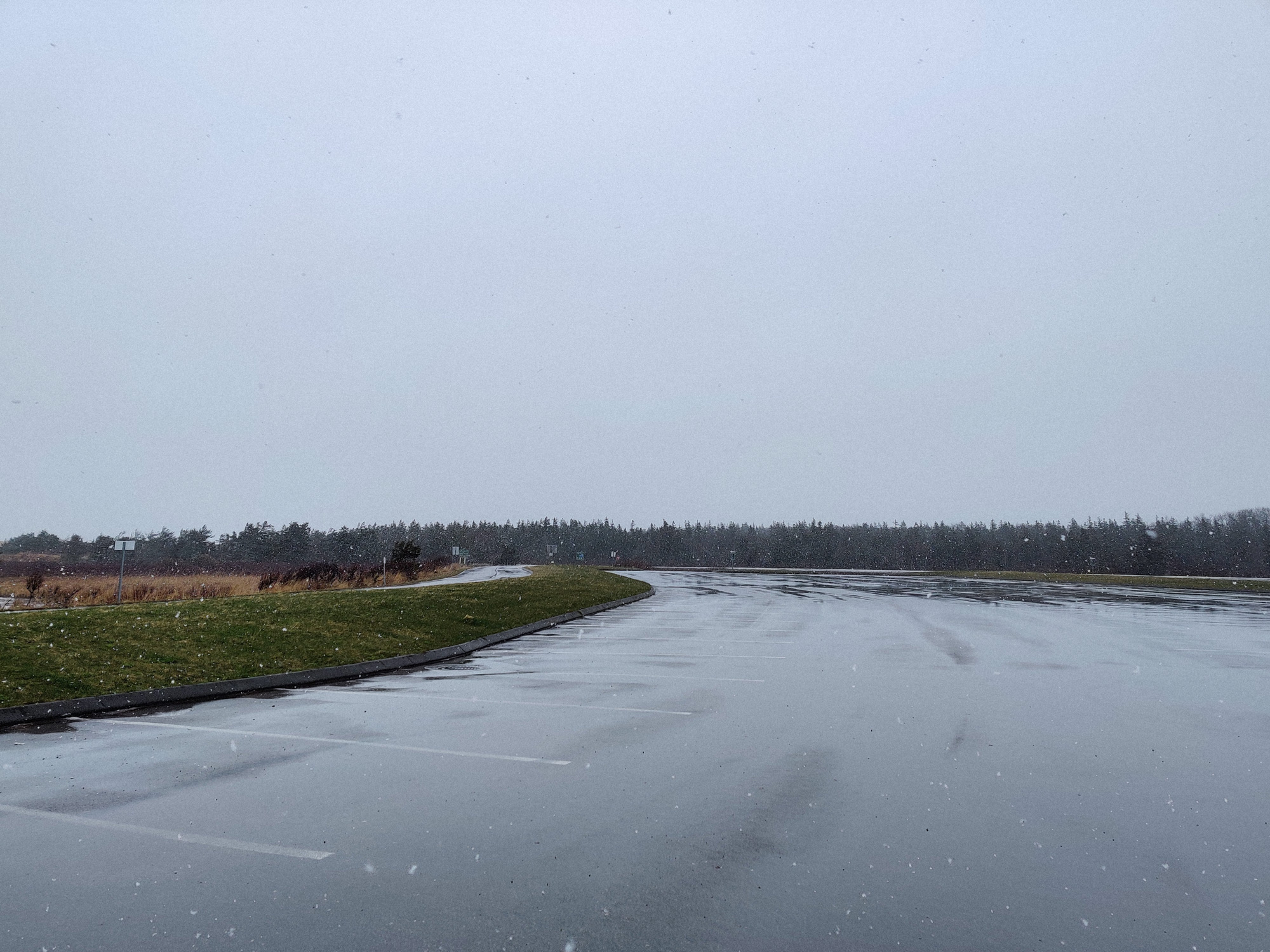
The parking lot was really big (one wouldn't be able to come to such a remote place without a car).
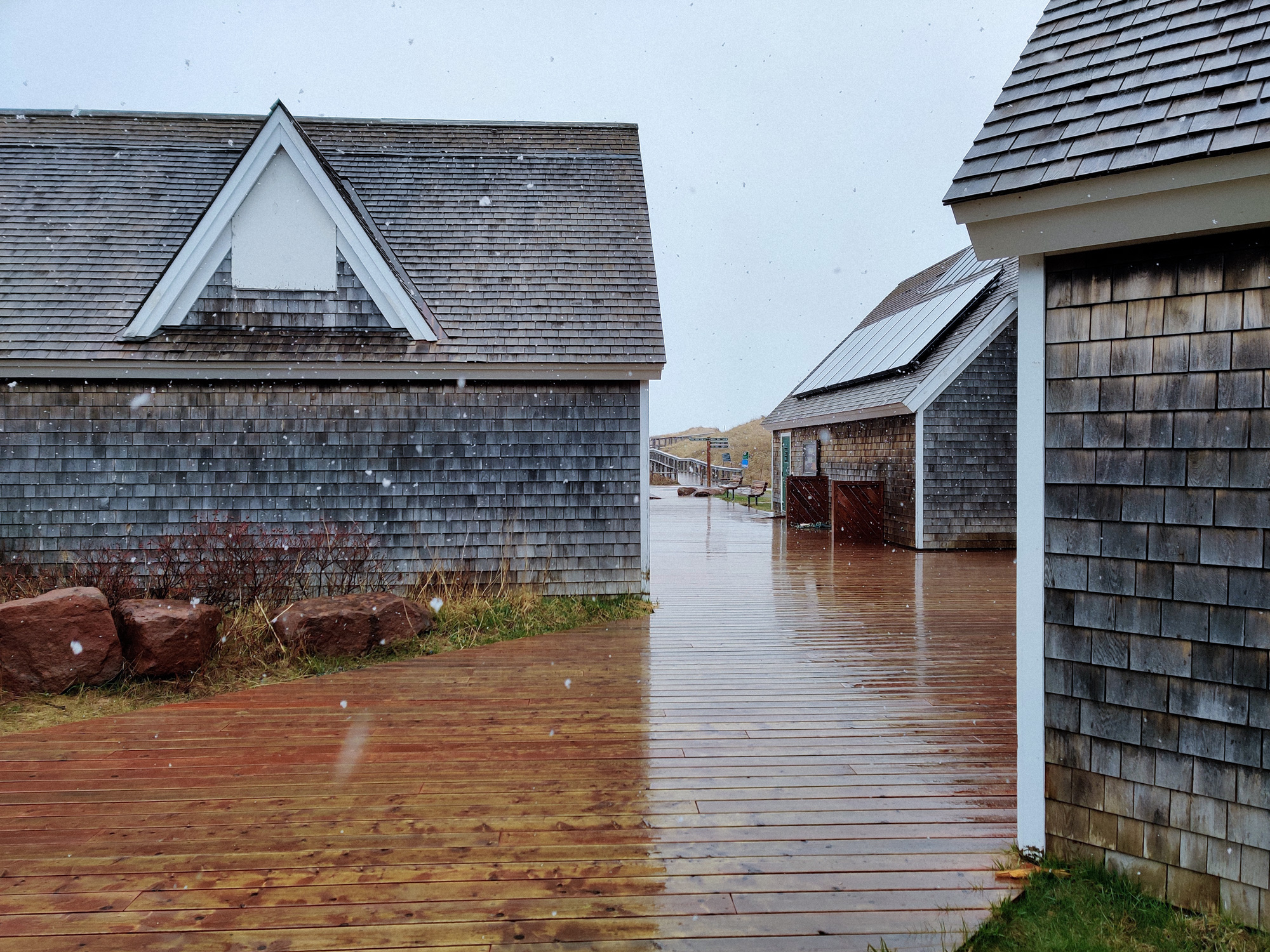
I quite liked these houses. There seemed to be solar panels on the roofs.
There was a bathroom here, but whose door would not open.
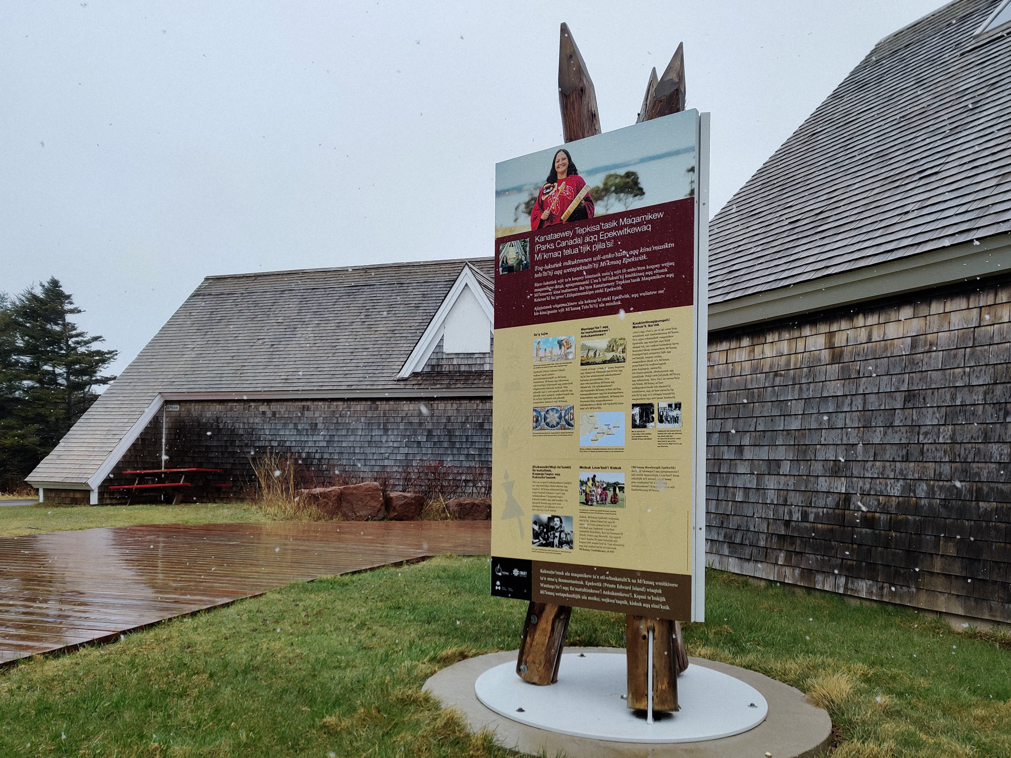
There were also signs written in the local language. Note that the support for the sign was three wooden posts with sharp ends.
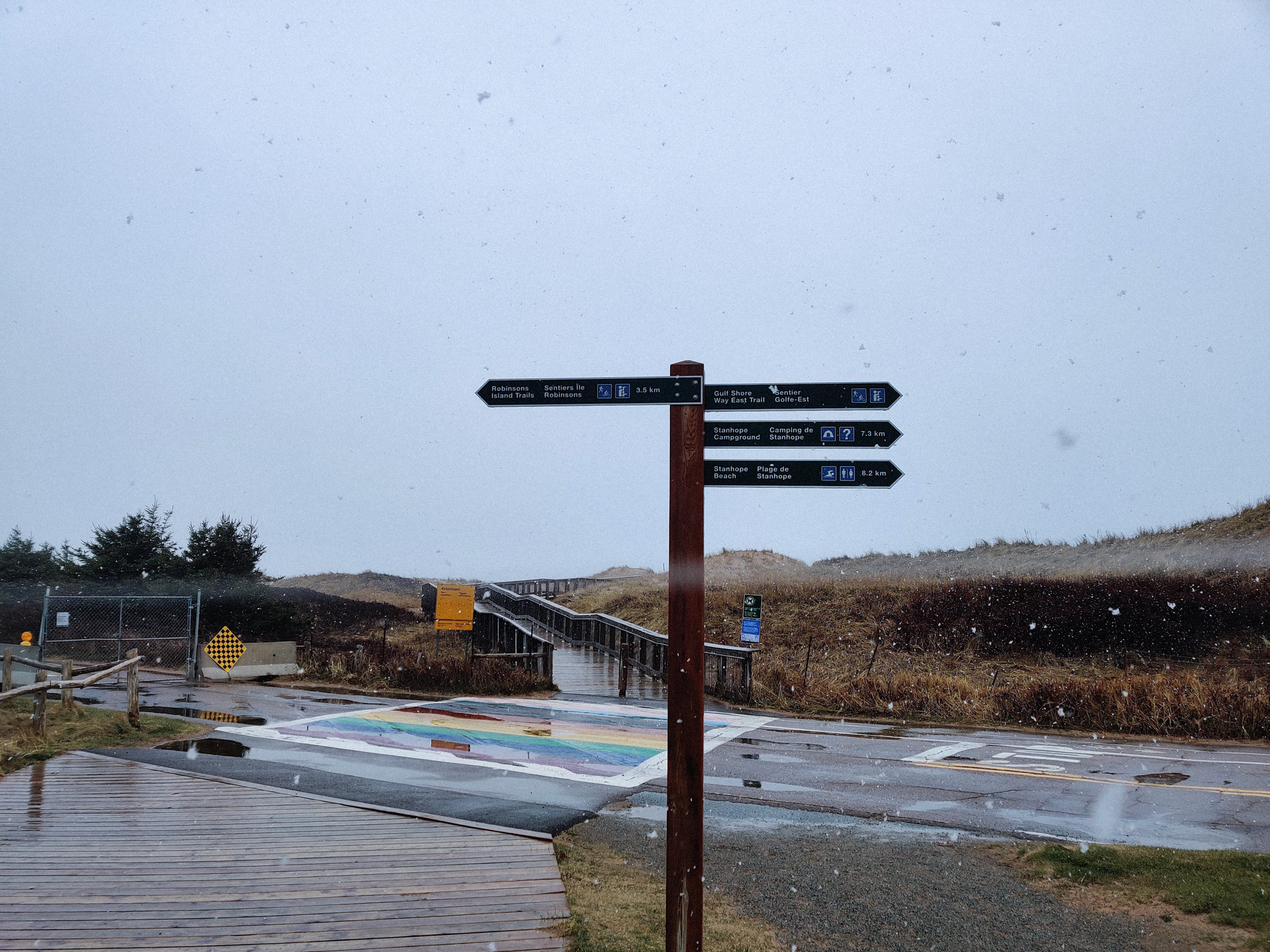
The rainbow zebra crossing was quite interesting.
Below the bridge was mud.
Turning back to look at the countably many houses here.
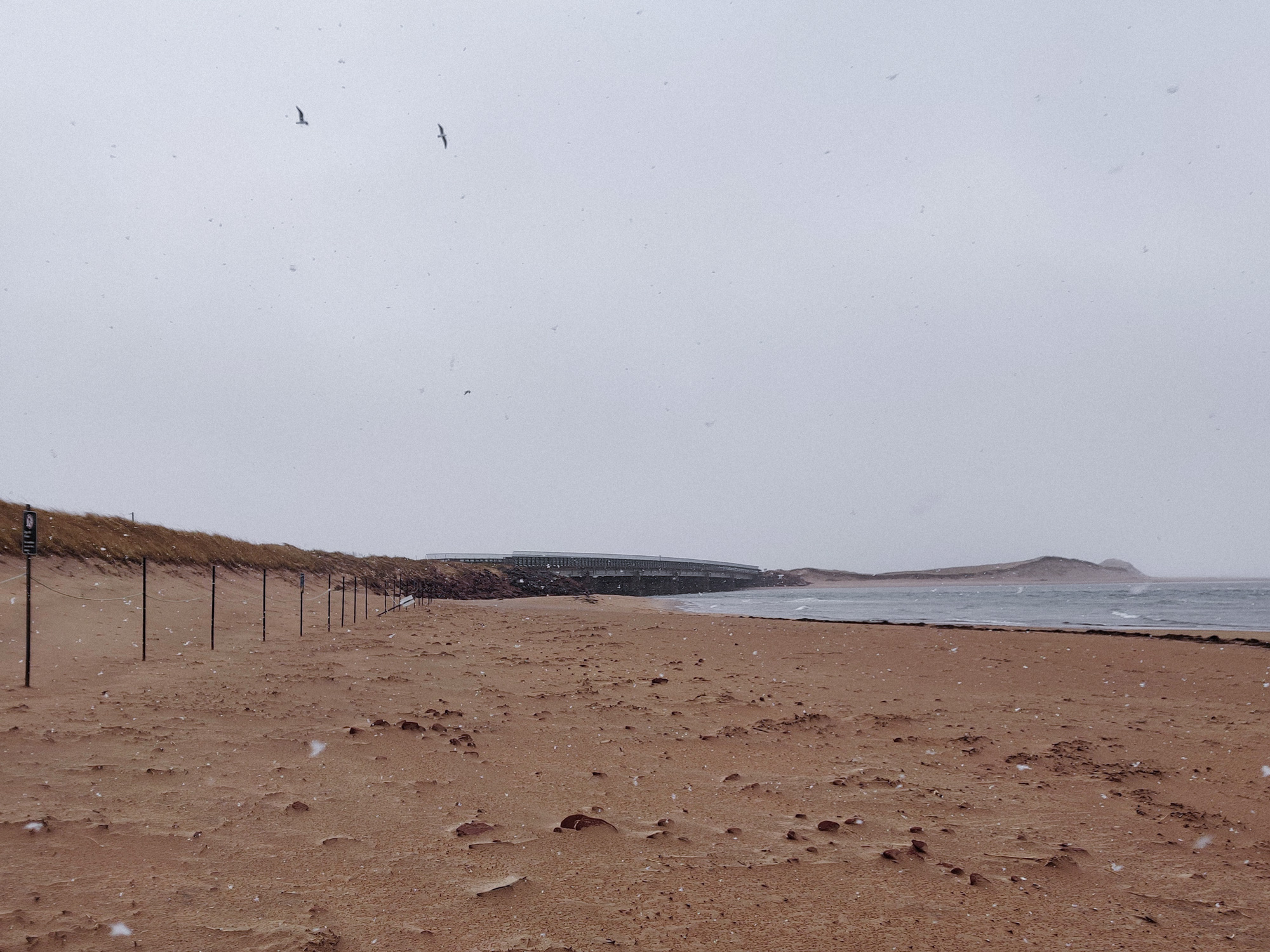
The bridge led to here... The thing on the right looked like a miniature.
Hm... This was not the real Atlantic Ocean, but St. Lawrence Bay. The other side of the distant should be Newfoundland Island.
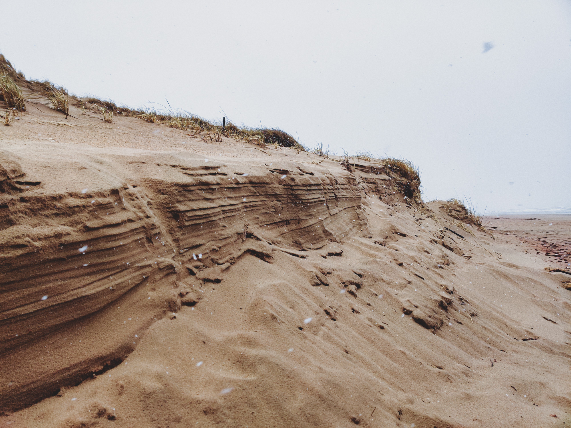
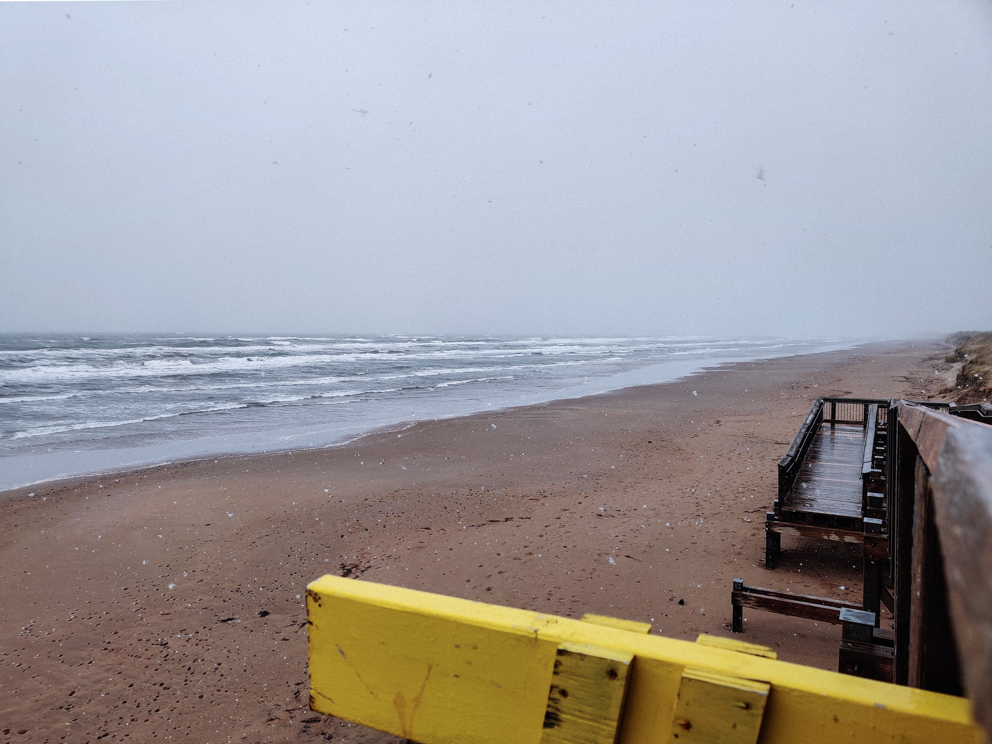
These looked like sand walls. I felt that they would be blown away by the wind at any time.
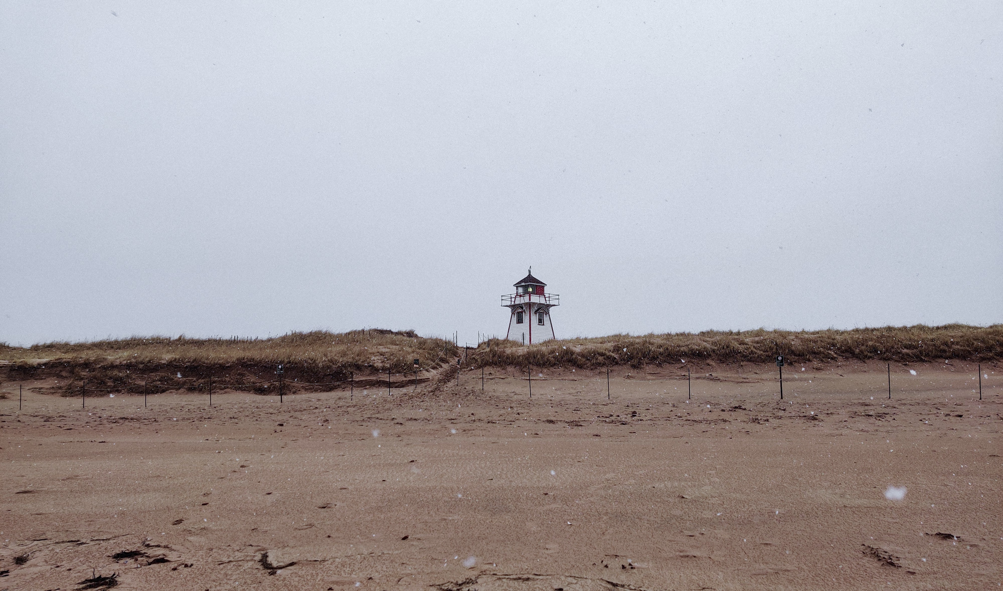
Did a bit more walking to the Covehead Harbour Lighthouse.
Hehe, the tourist photos on Google Maps were all taken in spring, summer, and autumn. But it's winter here.
To be honest, May should be considered the end of winter, right?
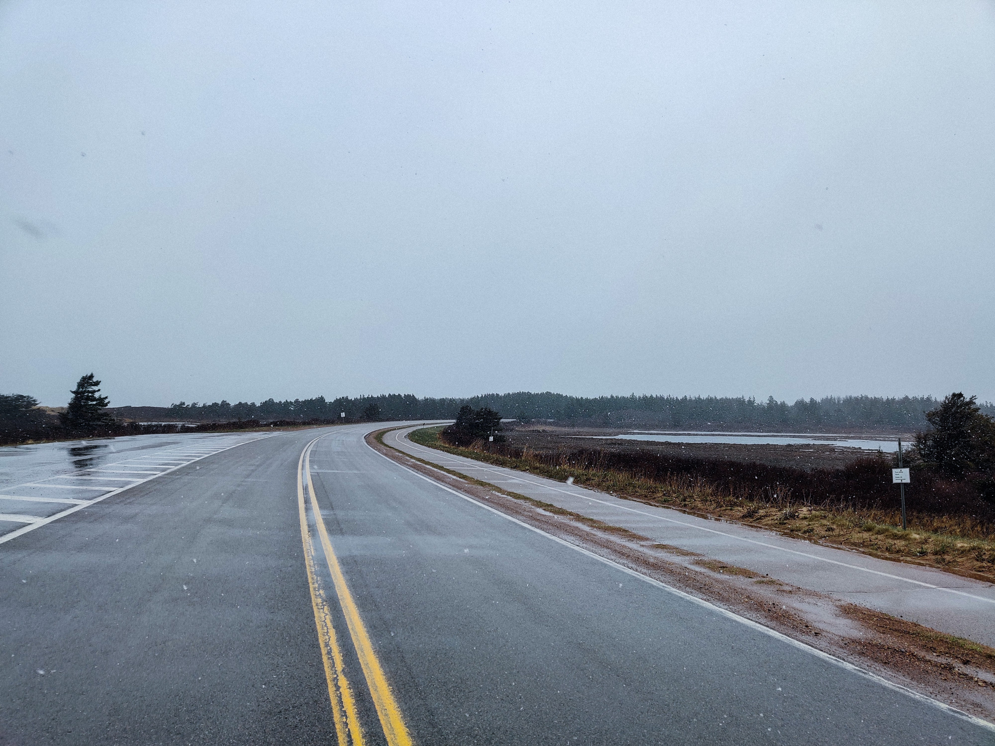
We came on this road. The white balance in these pictures looks strange.
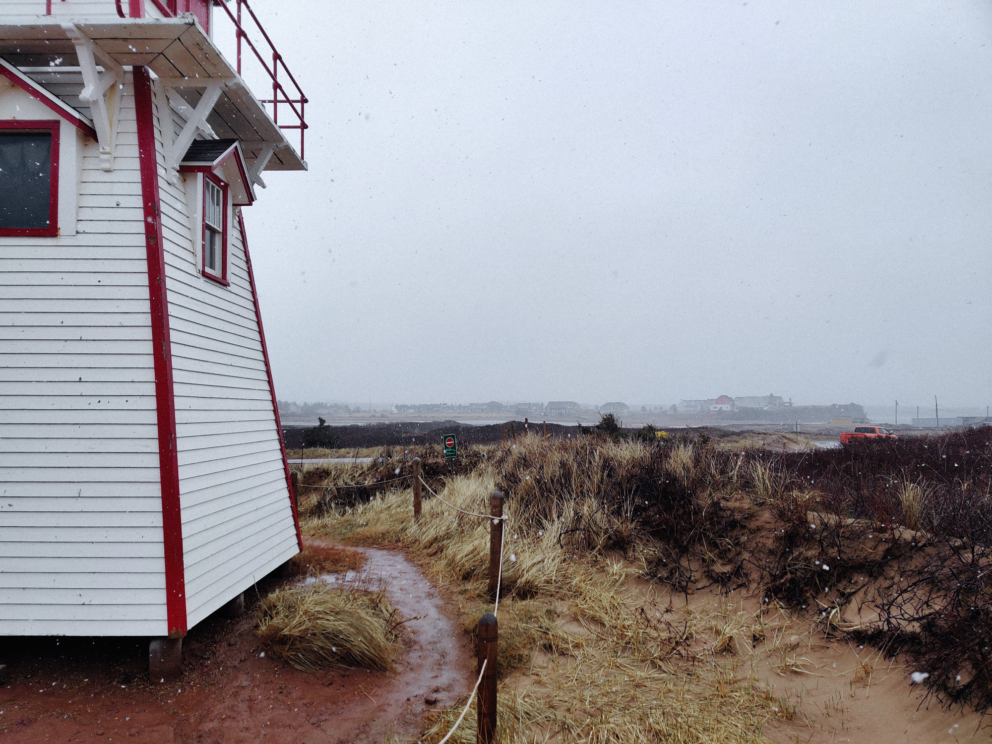
The lighthouse was always closed.
Though I didn't know what I would want to see if I climbed up.
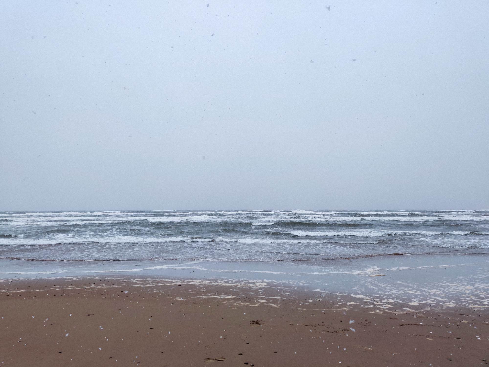
Lastly let's experience the beach with snow and wind.
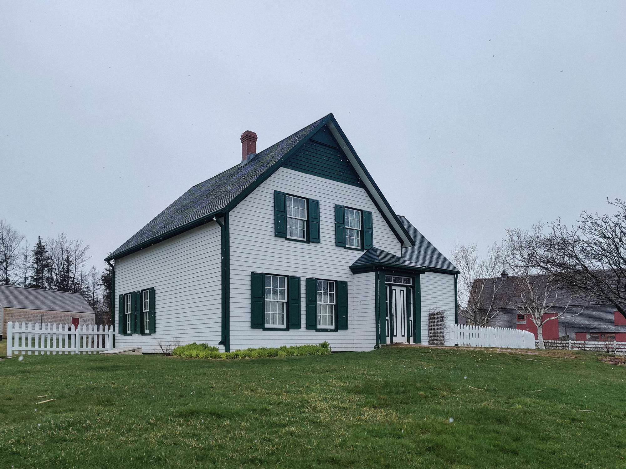
The next stop was Green Gables House.
I took a picture of the front of this house as well, but when I looked at it later, it felt... quite scary.
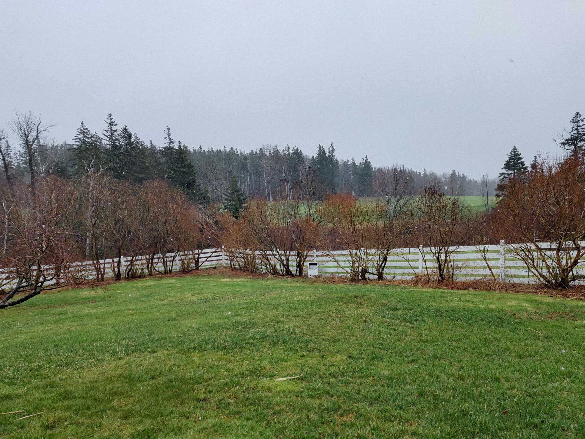
The "European" garden behind the house was not in use.
Time to leave the island.
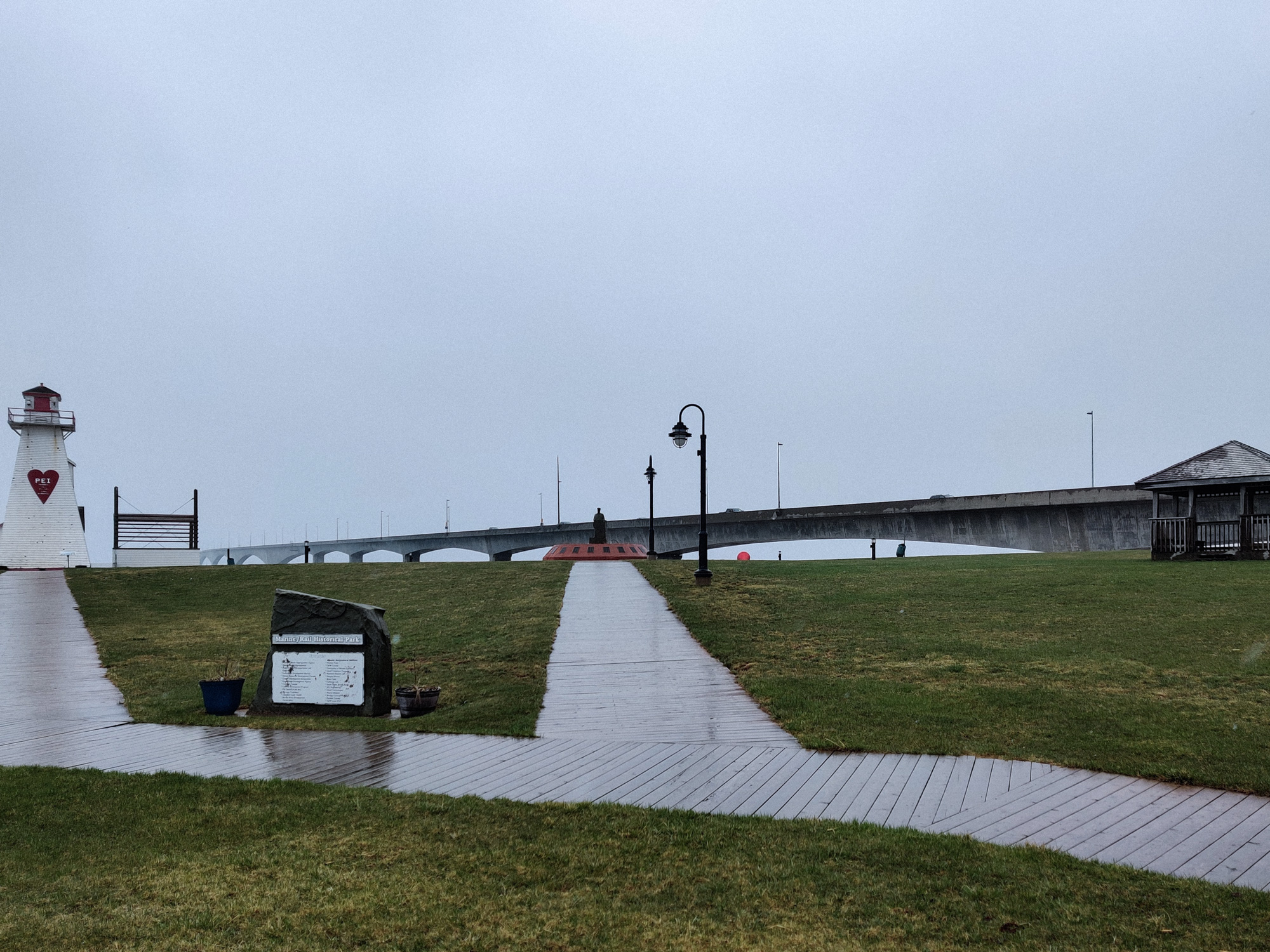
When we came to PEI, we went straight to the city. Now we were leaving, and we came below the bridge on purpose.
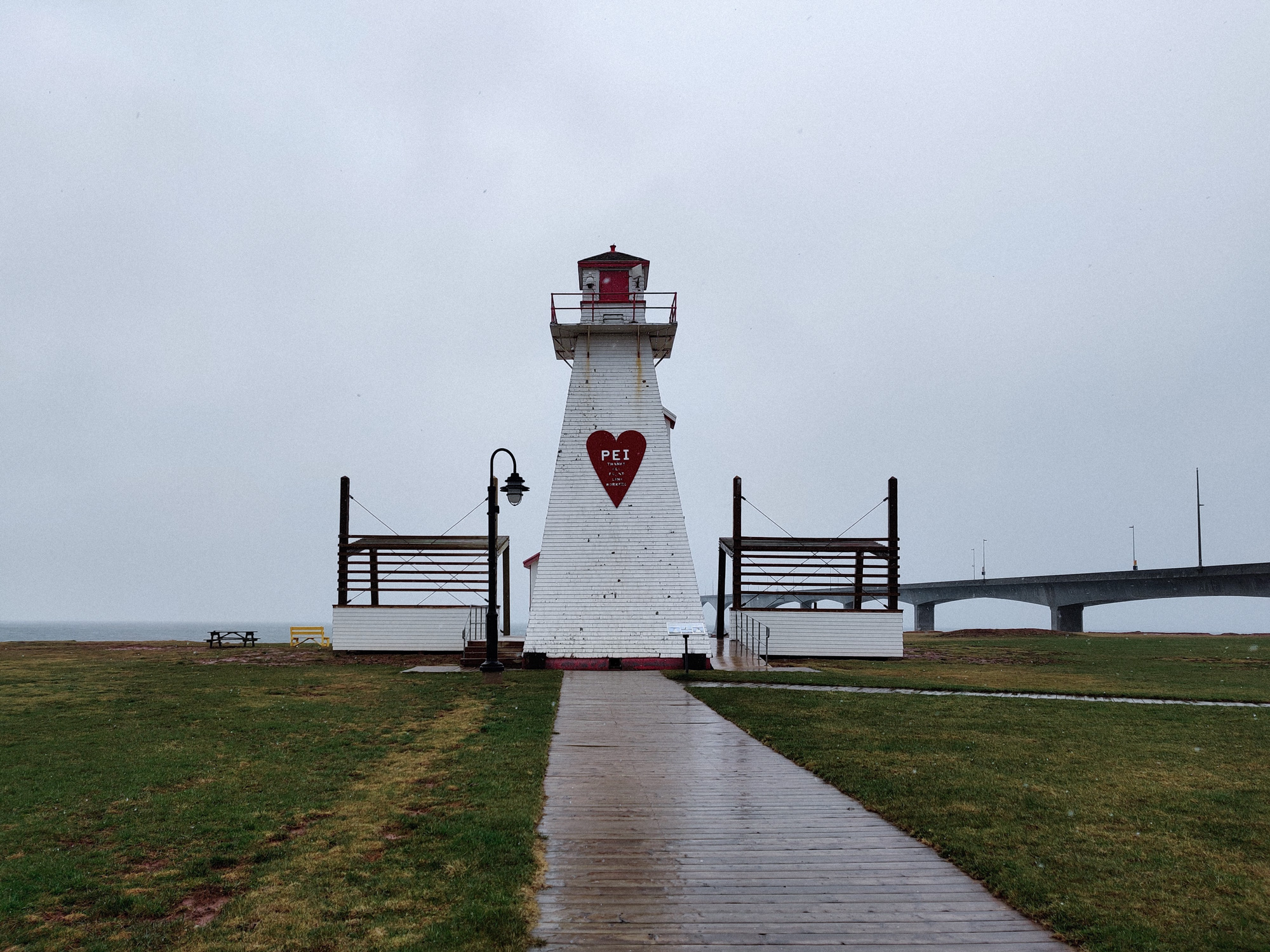
Here was a bigger lighthouse.
I love PEI: thanks all front line workers
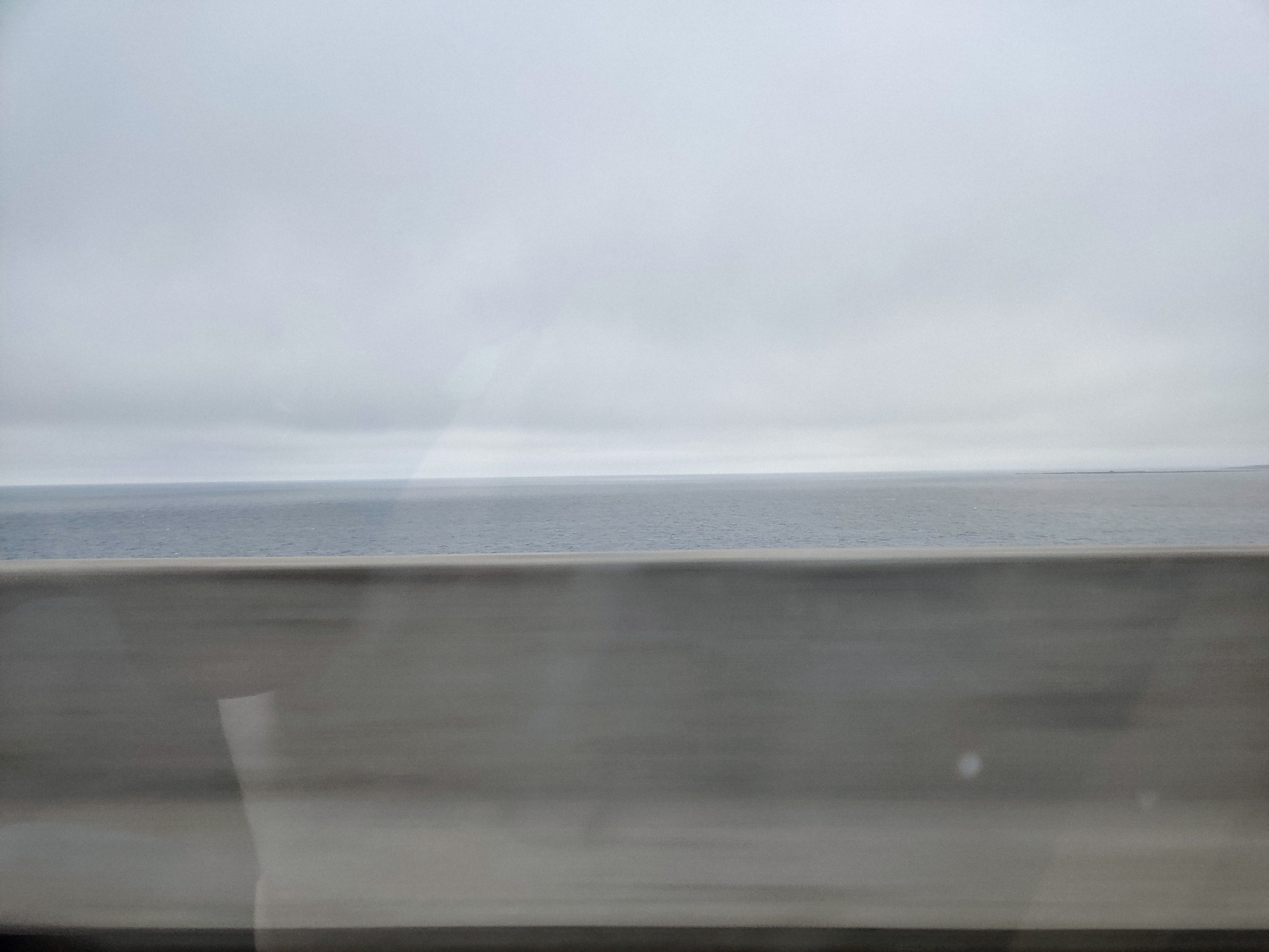
Surprisingly, this bridge was curved.
Took a last look back at the island.
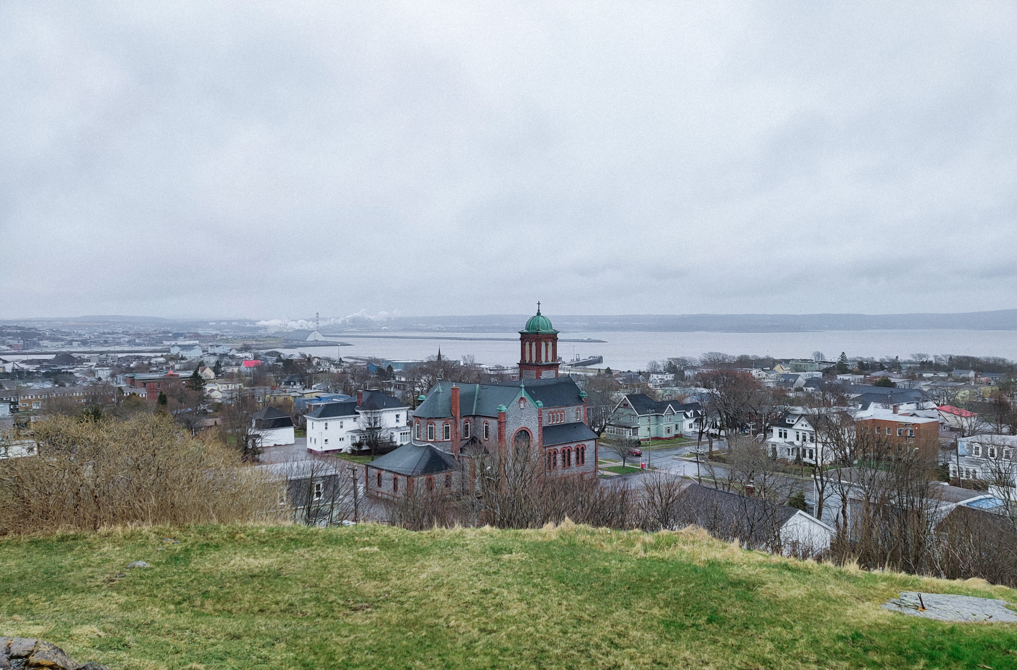
Nova Scotia
Do you remember that we didn't pay the toll on our way here? We only need to pay when we leave.
The toll fee was not related to the route we took when we came, but was determined based on the route we took when we left. We used the same bridge on our way back, and the toll fee was 50 dollars.
By the way, I was originally planning to try the ferry on the way back.
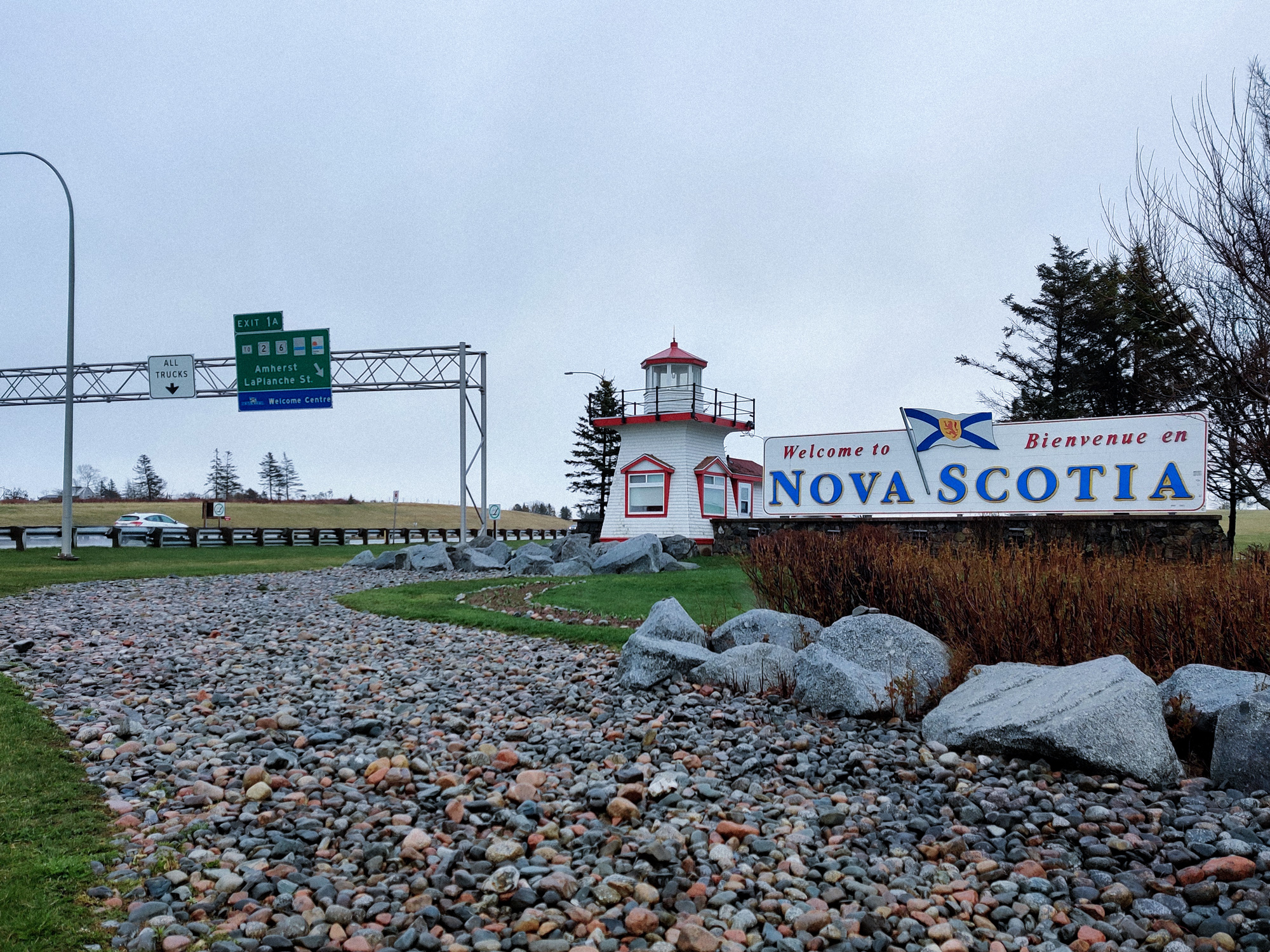
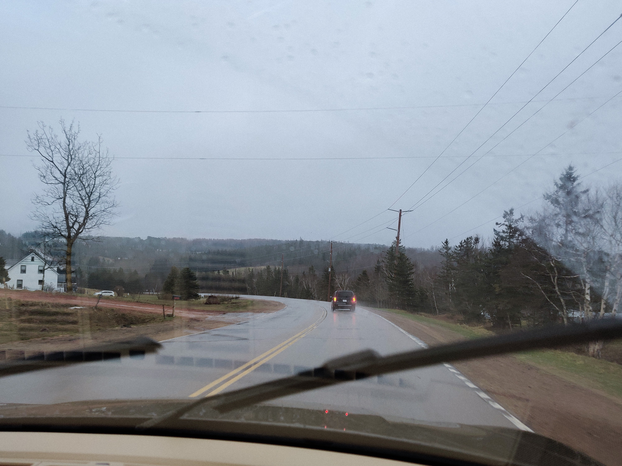
After crossing the bridge, it was raining all the way. But we finally arrived in Nova Scotia.
Hm... why another lighthouse.
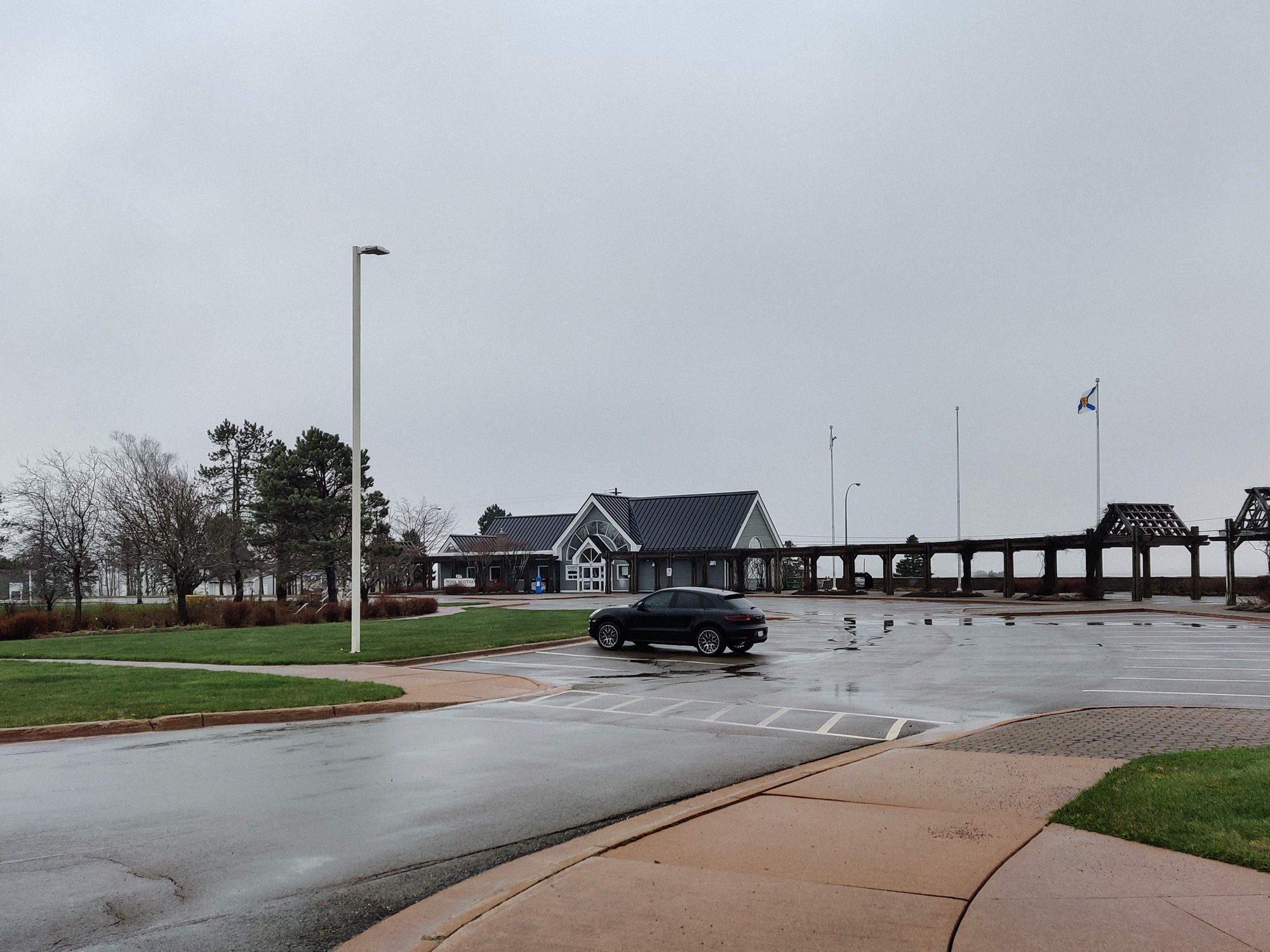
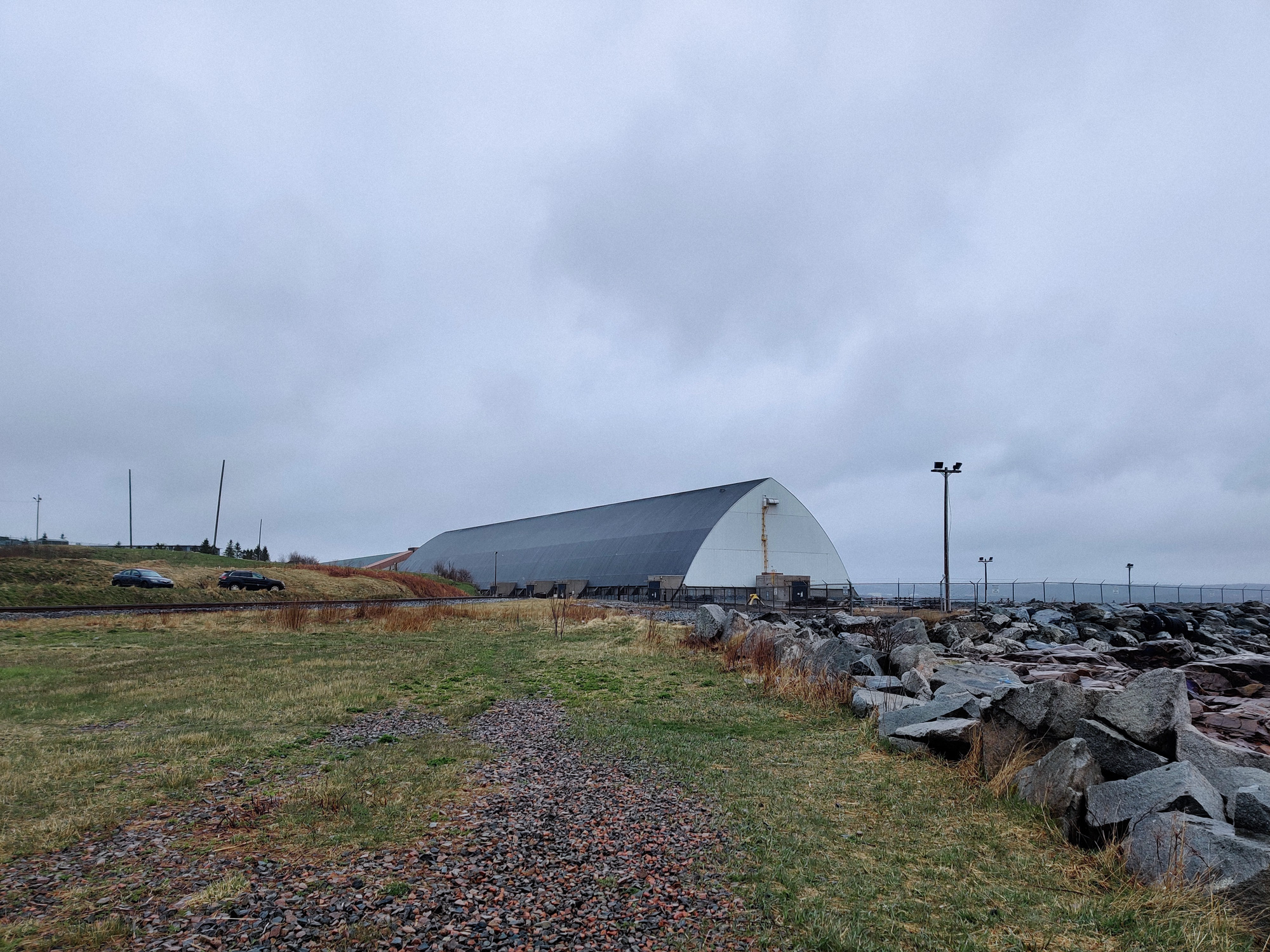
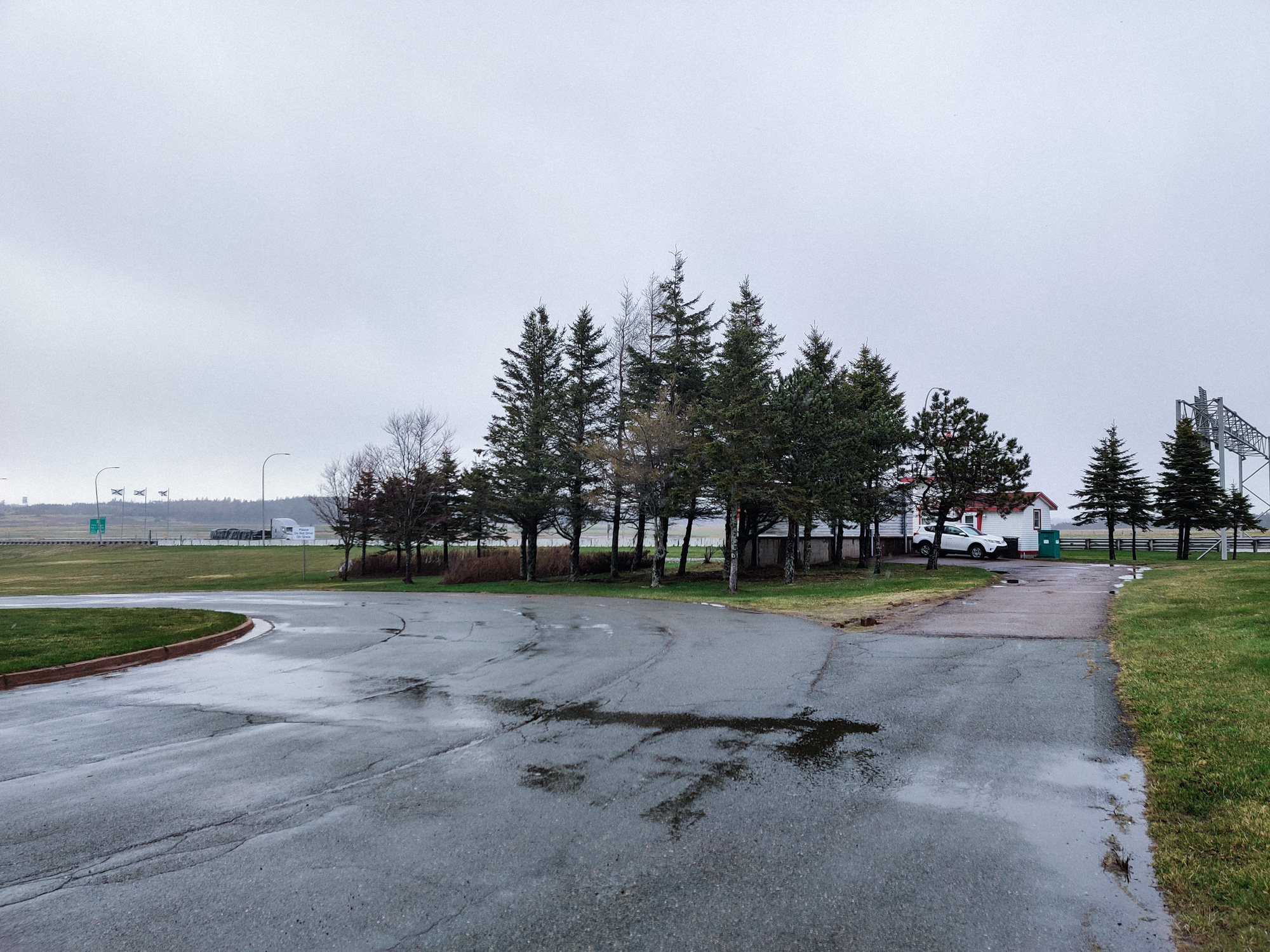
We stopped at the "tourist center" at the border of NB and NS.
There was no shop and no gas station here. I did not really understand.
One small house.
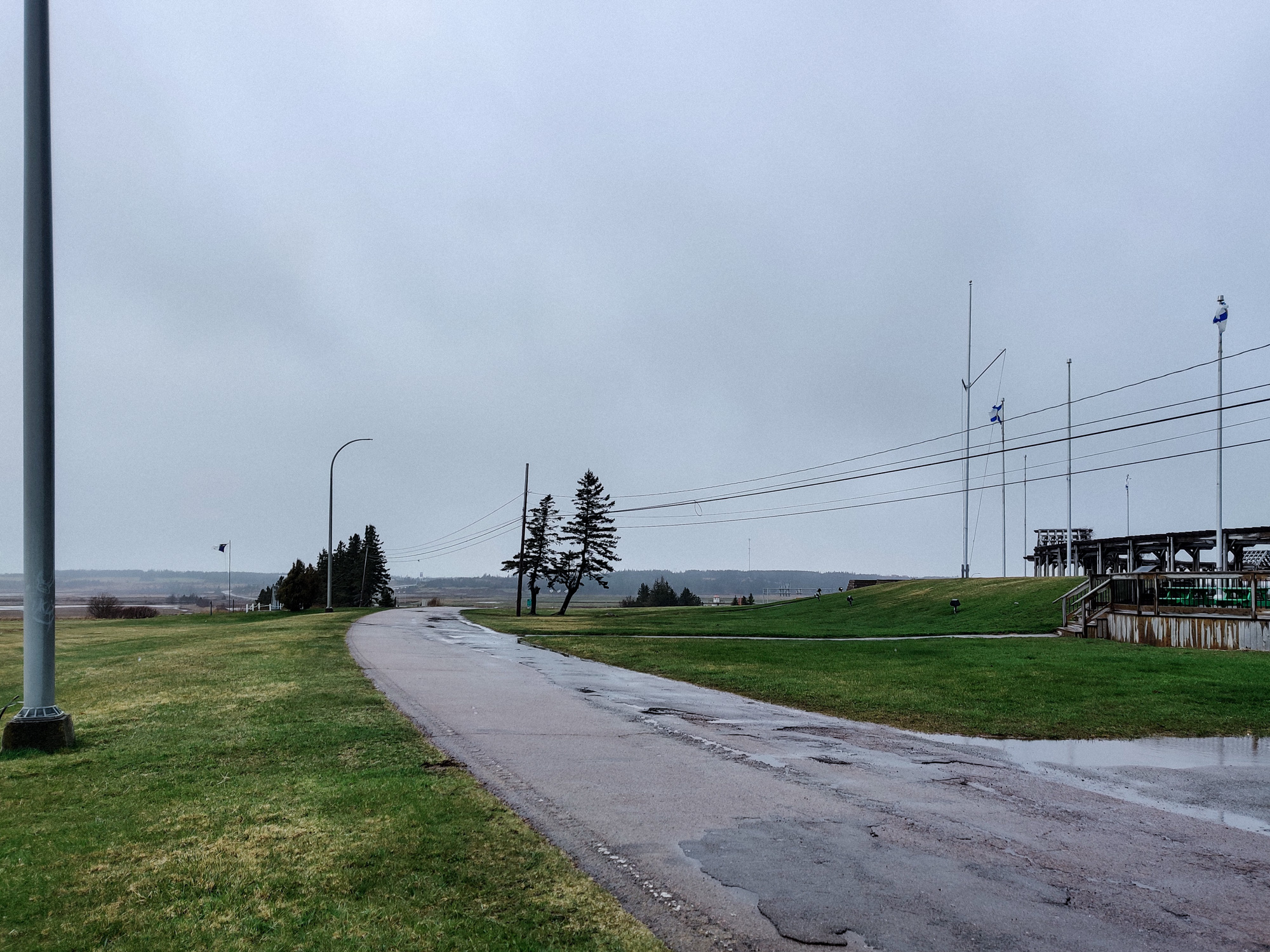
Since I was already here, I walked around a bit.
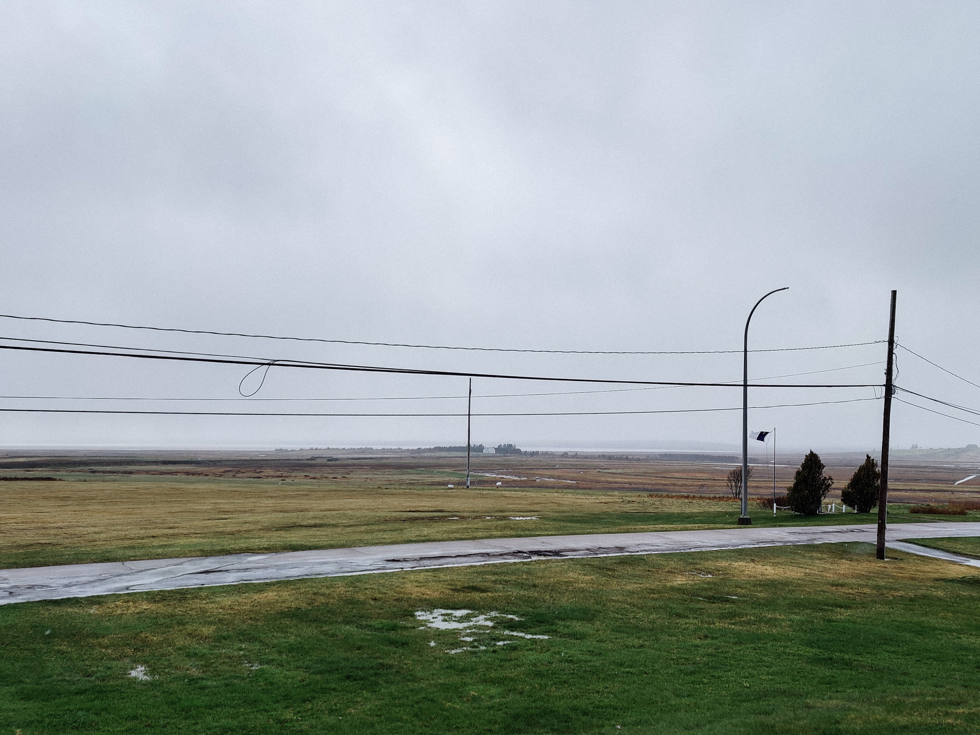
There were no buildings blocking the view, and the grassland looked very comfortable (except for the power poles).
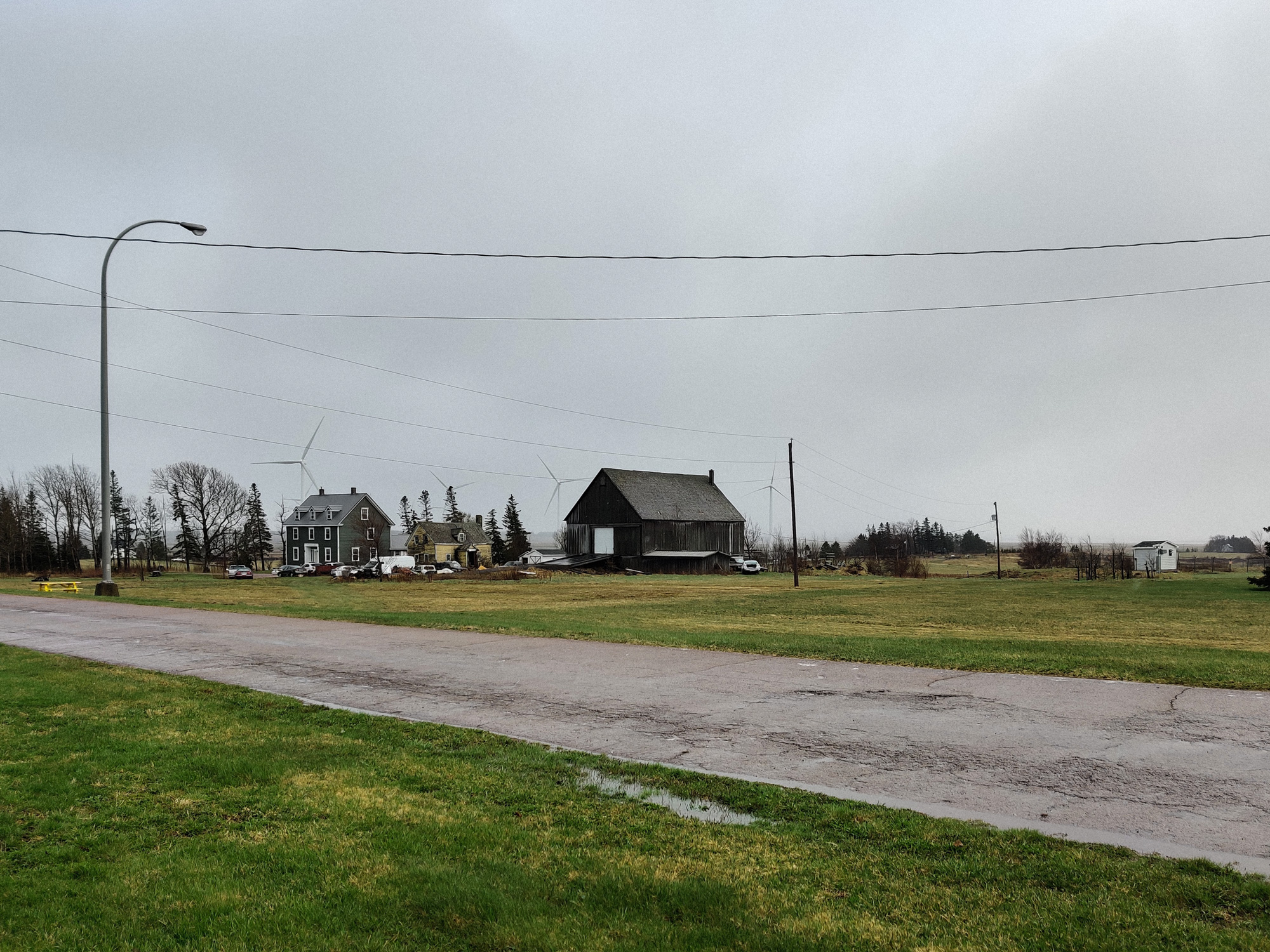
There were even wind turbines in the distance... I was tired today, needed to rest.
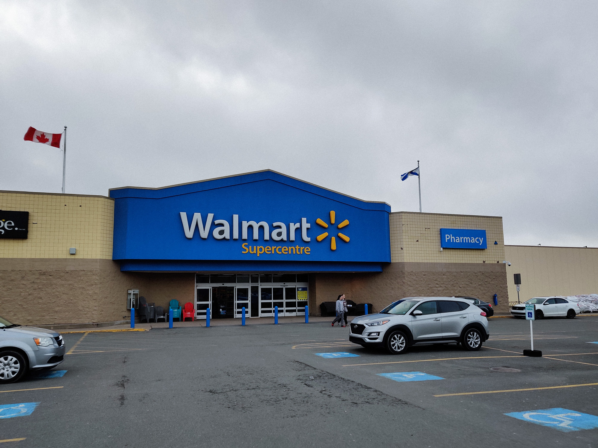
We spent the night in Truro. I originally wanted to buy dinner at Walmart, but when I arrived at the place, I found that there was no ready-to-eat food, ah.
I still liked Walmart.